


Severe storms remain the main concern this evening before another active day Wednesday

INDIANAPOLIS (WRTV) — A severe thunderstorm watch is in place until 7 p.m. Thursday. A thin line of storms is dropping in from the NW with wind as the main concern.
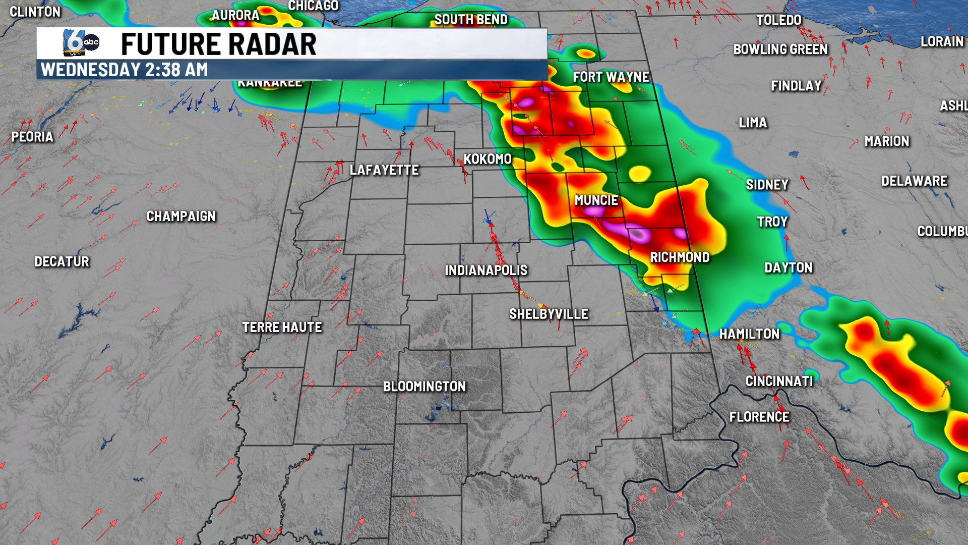
TONIGHT: Beyond 7 p.m. this evening, isolated showers and storms remain possible, favoring NE of Indy. We will monitor for flooding if any storms track over the same spots that have picked up plenty of rain. Low temperatures in the low 70s.
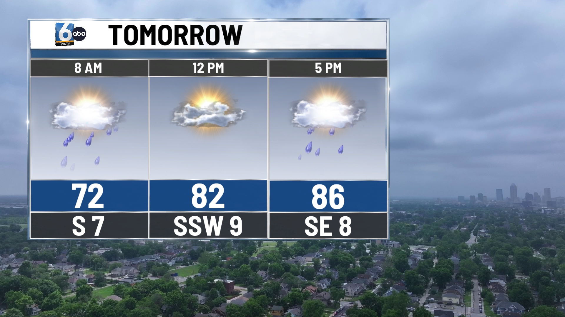
TOMORROW: Isolated morning rain/storms can’t be ruled out. Partly cloudy skies are anticipated before another round of scattered showers and storms, mainly later on and into Wednesday night. High temperatures in the mid-80s.
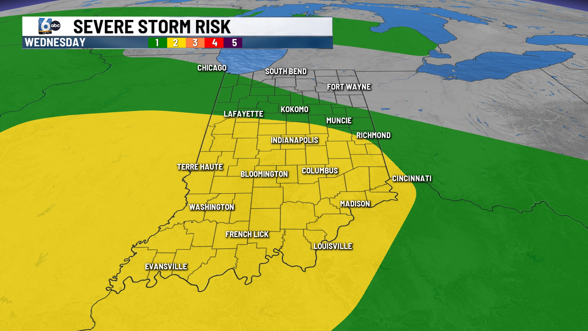
THURSDAY: Scattered showers and storms are expected. Yet again, this will not be an all-day rain chance, and not everyone is guaranteed to get rain. High temperatures in the mid-80s.
7-DAY FORECAST: Rain chances could still linger into Friday morning before exiting. Central Indiana starts the weekend dry on Saturday. Tropical-like dew points stick around at least through this weekend.
