


Storms and torrential rain for central Indiana

INDIANAPOLIS (WRTV) — Severe storms and extremely heavy rain continue across the state, raining gloomy through the second half of the weekend.
TONIGHT:
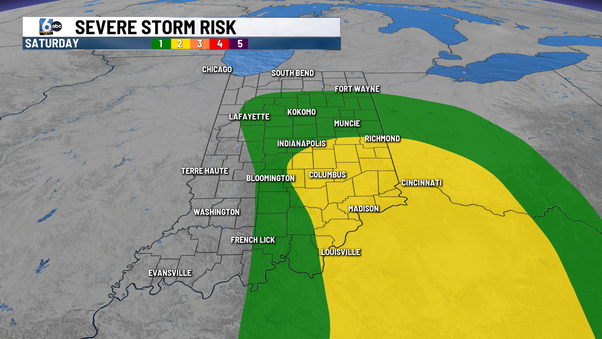
A few storms this evening through midnight will pose the risk to be strong to severe. After sunset the tornado risk will end, but flooding will remain a concern for tomorrow. With sports already seeing 3-6” just this afternoon, 2-4” of rainfall is still expected for spots.
TOMORROW:
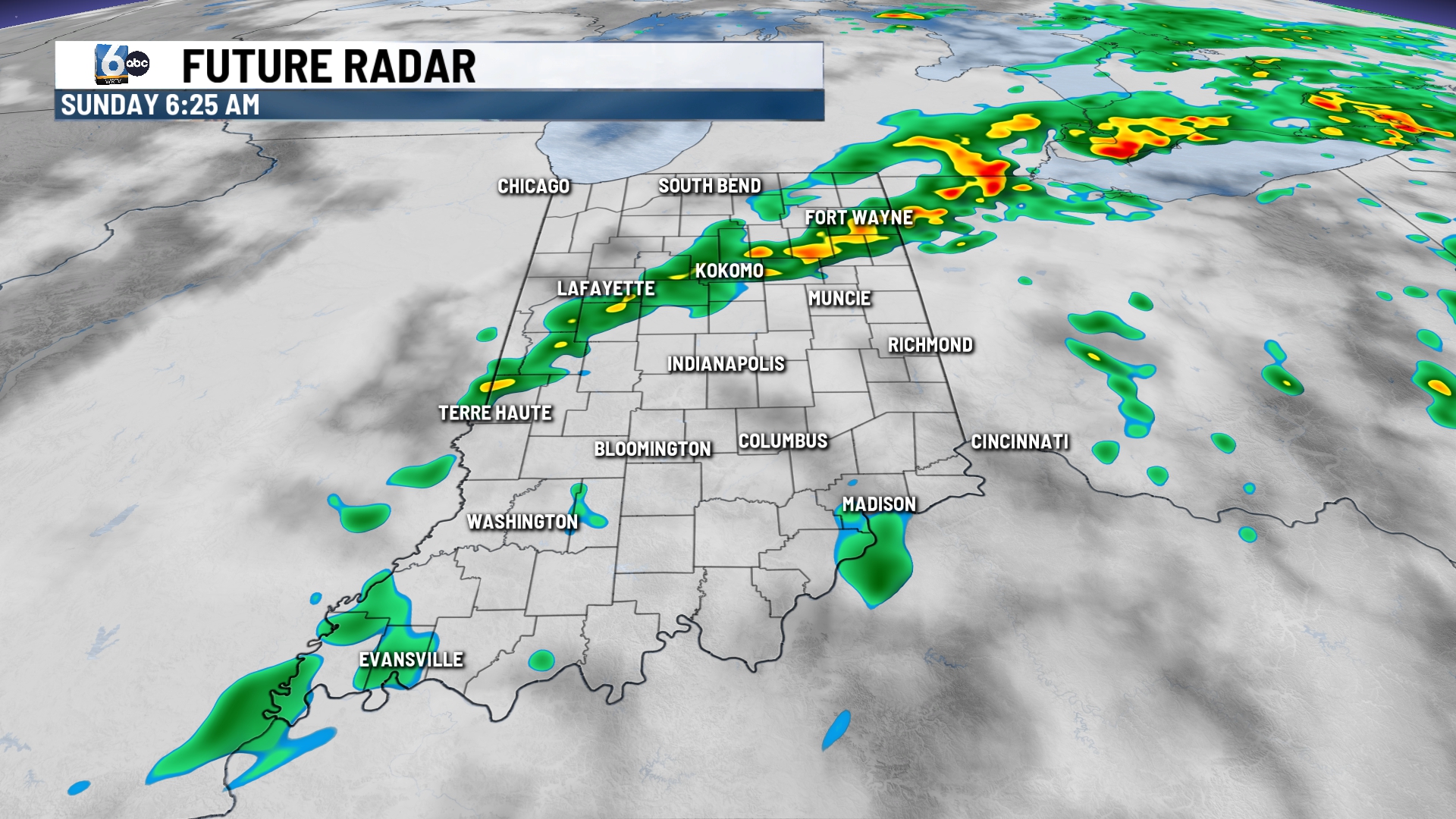
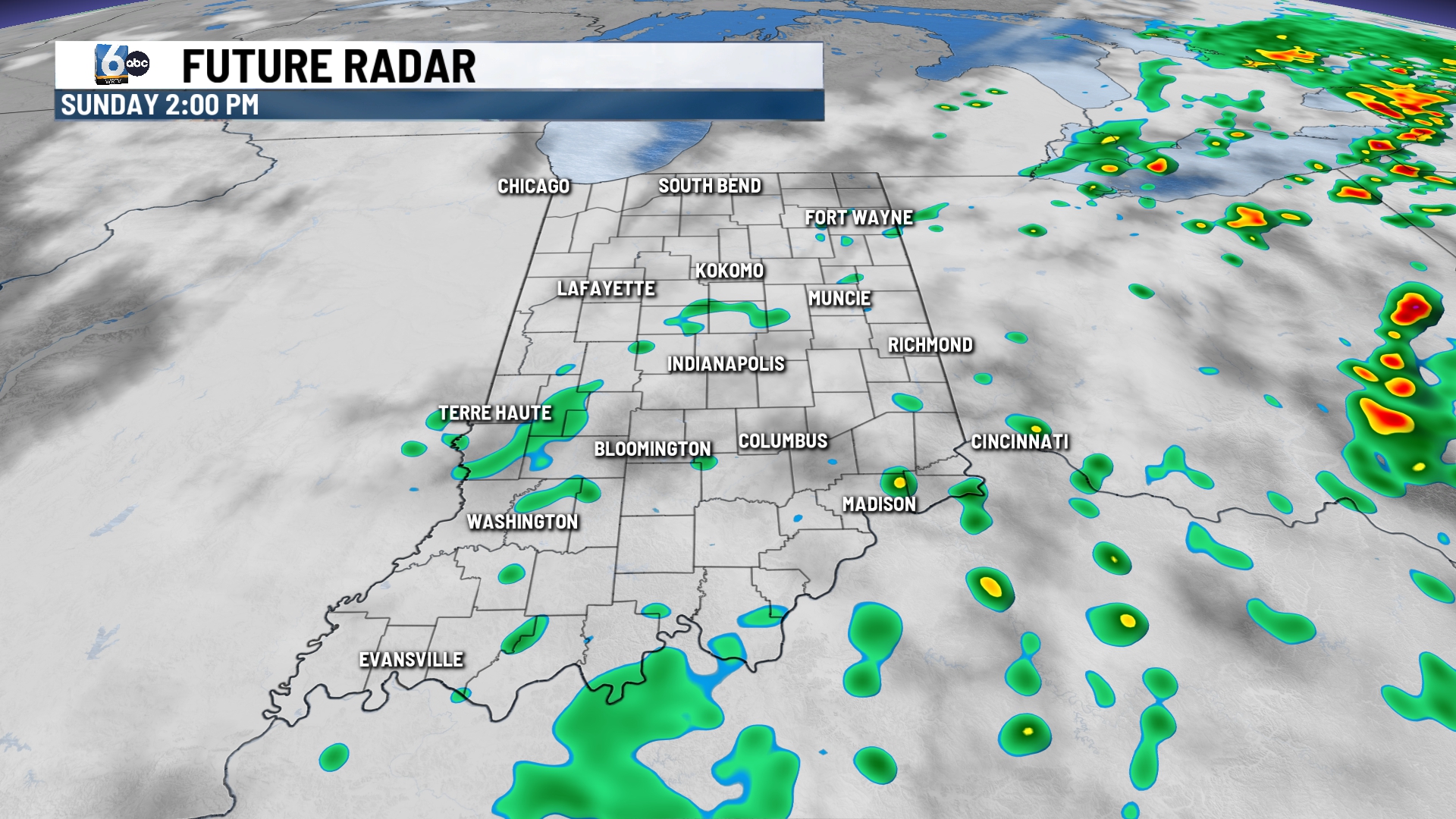
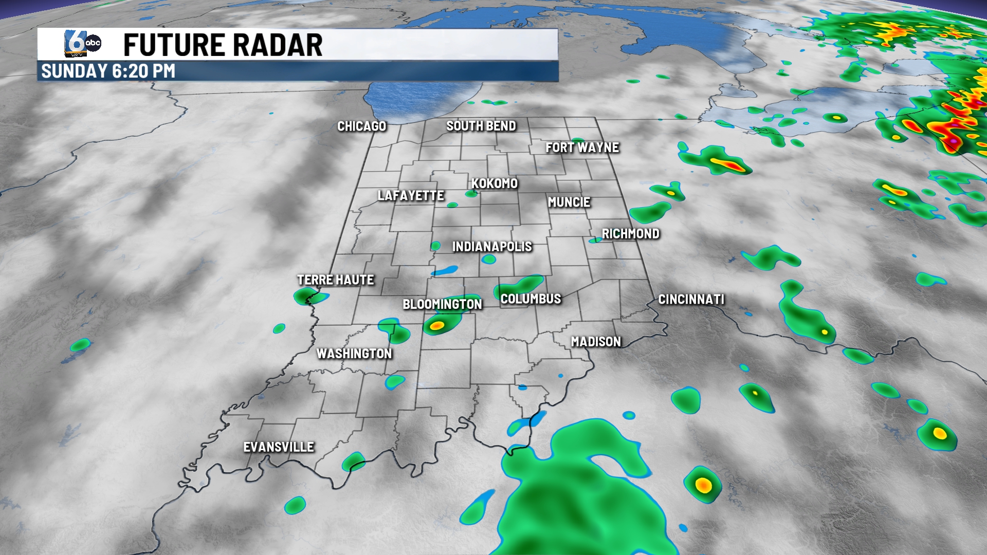
Isolated showers and cloudy skies will remain for the day. This will keep temperatures in the 70s. Don’t expect Sunday to be a complete washout, as showers will be on and off with most spots seeing more dry than wet time through the day.
7-DAY FORECAST:
Mainly calm weather settles in for the new week as high pressure returns. A stray afternoon/evening pop up will be possible for southern portions of the area as a cut of low continues to spin to the south.
Most areas will see plenty of sunshine Monday through Wednesday. Temperatures will remain right around the normal 85 all week. Another system will try to work in to end the week and start the weekend. Rain chances return late Thursday with a few showers and storms lingering through the weekend.
