


Beautiful weather for the rest of the weekend
INDIANAPOLIS (WRTV) — After a grueling stretch of weather that saw the mercury hit 95 degrees for five consecutive days, Central Indiana is finally receiving a much-needed reprieve. The intense summer swelter that defined the past week is taking a break, making way for a significantly more comfortable Sunday and an ideal Labor Day holiday for residents across the state.
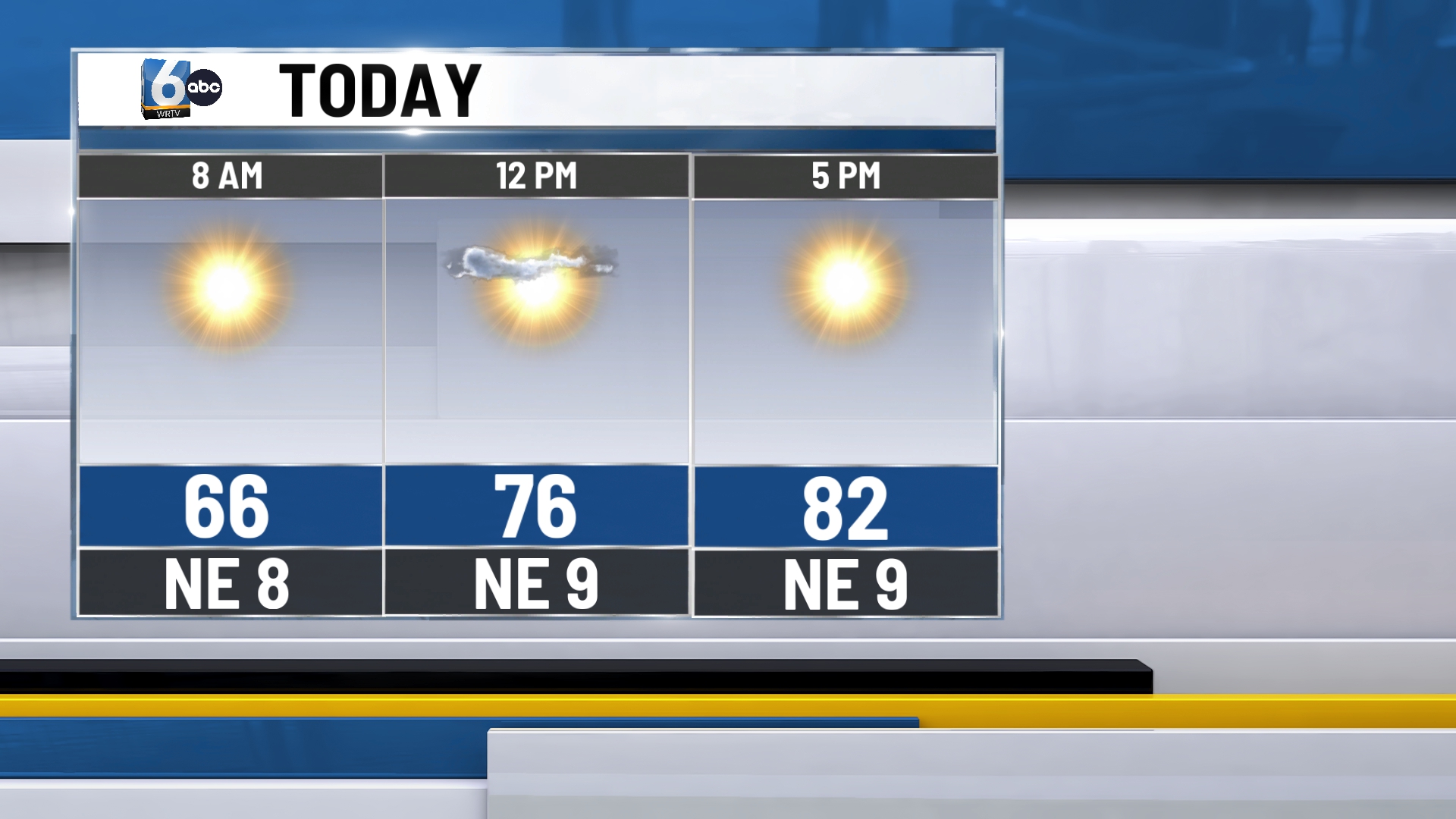
TODAY: The transition to cooler air begins in earnest today. Following yesterday’s fifth straight day of 95-degree heat, the region will experience a noticeable shift in both temperature and humidity. Mostly sunny skies will prevail throughout the afternoon. A slight temperature gradient will be present across the viewing area, with highs ranging from the upper 70s in the northern counties to the mid-80s across the southern half of the state.
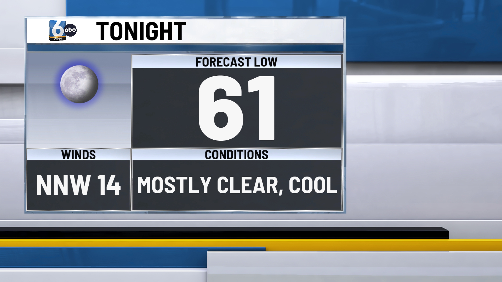
SUNDAY NIGHT: The cooling trend continues into the evening, providing what many locals call a natural air-conditioning night. As skies remain mostly clear, the lack of cloud cover will allow heat to escape the surface quickly. Overnight lows are expected to drop into the upper 50s to around 60 degrees.
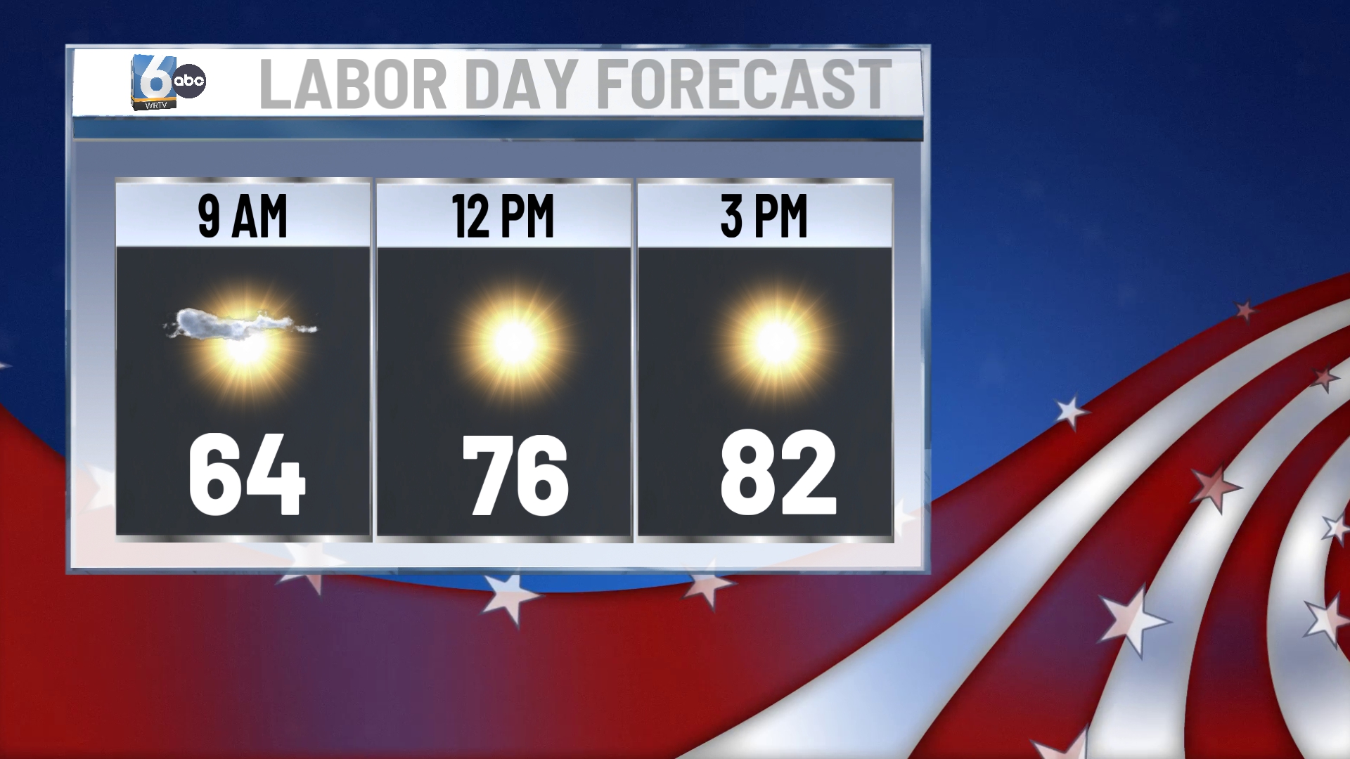
MONDAY: For those finalized with their Labor Day plans, the weather is expected to cooperate fully. Whether you are heading to a backyard barbecue, a local park, or a lake, the conditions will be nearly perfect for outdoor festivities. Mostly sunny skies will continue with high temperatures reaching the low to mid-80s.
TUESDAY: The break from the heat will be relatively short-lived as the thermometer starts to climb again on Tuesday. A weak and moisture-starved warm front is expected to lift through Indiana, shifting the wind and bringing warmer air back into the region. High temperatures will bounce back into the mid-to-upper 80s. The day will feature a mix of sunshine and clouds, serving as a transitional period before the humidity and heat return in full force for the middle of the work week.
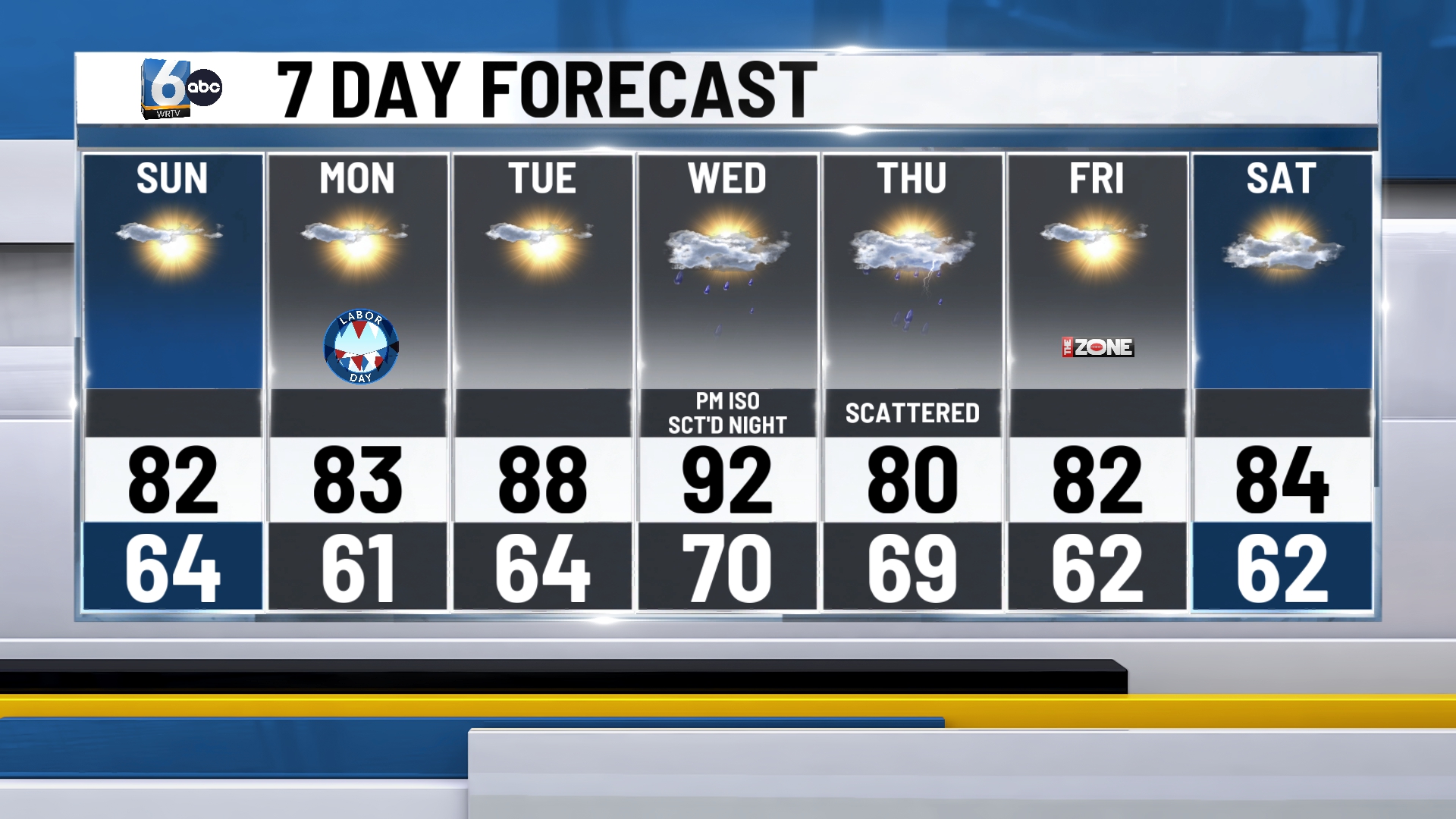
7-DAY FORECAST: The heat returns in a big way on Wednesday as high temperatures are forecast to spike back into the lower 90s. Along with the heat, rain chances will return. A few isolated showers and storms are possible Wednesday afternoon, though the better chance for more widespread scattered showers and storms arrives late Wednesday night and continues into Thursday.
