


Storms to arrive late Wednesday

INDIANAPOLIS (WRTV) — Enjoy a quiet evening. Our next storm chance arrives late Wednesday.
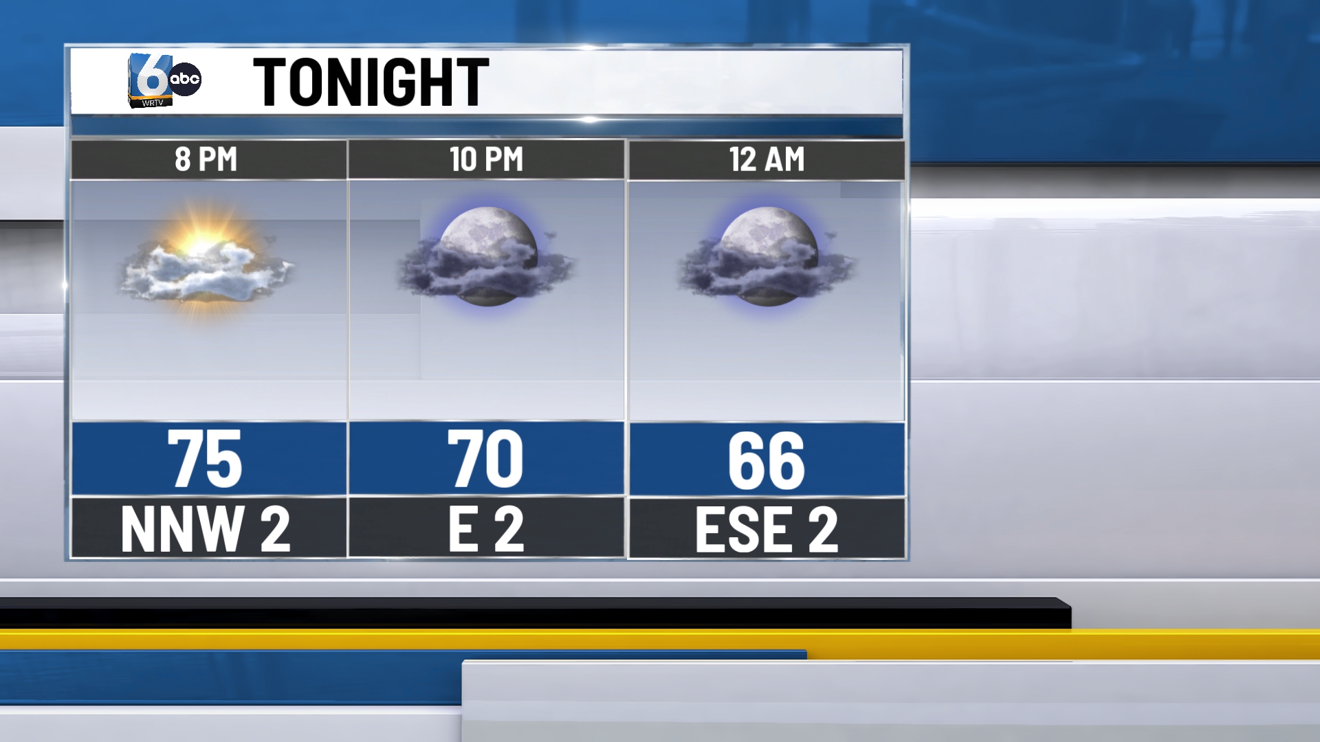
TONIGHT: Partly cloudy skies remain in place. Low temperatures in the low 60s.
TOMORROW: Most of the day will be dry under partly cloudy skies until the late evening and early overnight hours. A line of storms crosses central Indiana from 5 PM Wednesday – 12 AM Thursday.

A slight (2/5) risk of severe storms is in place north of I-70 for mainly wind and hail. The tornado threat is not zero, but slightly more elevated in northern Indiana. High temperatures in the low to mid 80s.

THURSDAY: Partly cloudy skies in place. A stray pop-up can’t be ruled out, but the vast majority are expected to be dry. High temperatures in the low 80s.
7-DAY FORECAST: A great Friday and weekend are ahead of us in central Indiana. Temperatures and humidity creep up on Sunday and into early next week. Early next week, there will be a smaller chance of rain to monitor as we get closer.

