


Terrific Tuesday with strong storms possible Wednesday

INDIANAPOLIS (WRTV) — Beautiful weather again today with near normal highs. A cold front moves through Wednesday, bringing a chance for strong thunderstorms to the state. Temperatures continue to climb and get close to 90 for the end of the weekend and early next week.
TODAY:

A few areas of patchy fog around parts of Indiana this morning. Another crisp start with temperatures into the 50s this morning. Beautiful conditions this afternoon with sunshine, low humidity, light winds and highs in the lower 80s.
TONIGHT:
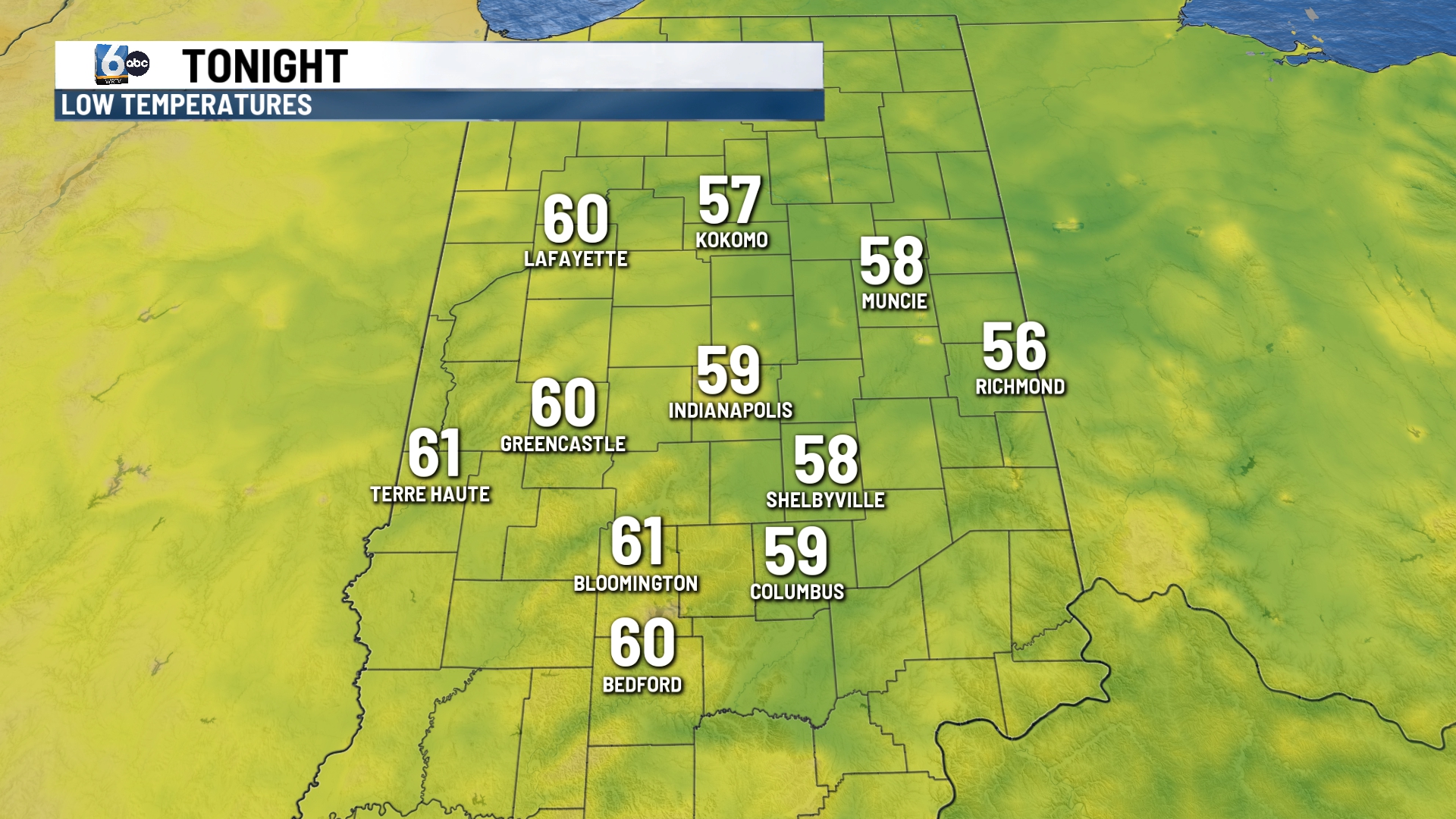
If you are heading to the Indians game you’ll have a great night for baseball. Temperatures will be into the 70s at first pitch. Overnight skies become partly cloudy with lows falling into the upper 50s and lower 60s.
TOMORROW:

A cold front moves through the state on Wednesday. The first part of the day remains dry with more rain chances moving in later in the day. It will be slightly more humid with highs in the lower 80s.

Later in the afternoon and evening, showers and storms move through. Some of the storms may be on the stronger side. A level 2 out of 5 is in place for north and western Indiana. A level 1 is in place for central Indiana, including Indianapolis. Strong winds and heavy rainfall along with an isolated tornado are all possible.
7 DAY EXTENDED FORECAST:
Temperatures remain in the low and middle 80s for the rest of the week with mostly sunny skies. Highs climb into the upper 80s by late in the weekend.
