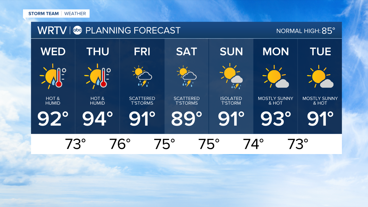
Humid with a stretch of 90 degree days starts Wednesday
Headlines
- HEAT INDICES +100° POSSIBLE
- STRETCH OF 90° DAYS
- STORM CHANCES FRIDAY & THIS WEEKEND
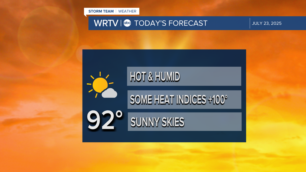
Wednesday is the start of a hot, humid stretch. High temperatures climb into the low 90s today under mostly sunny skies.
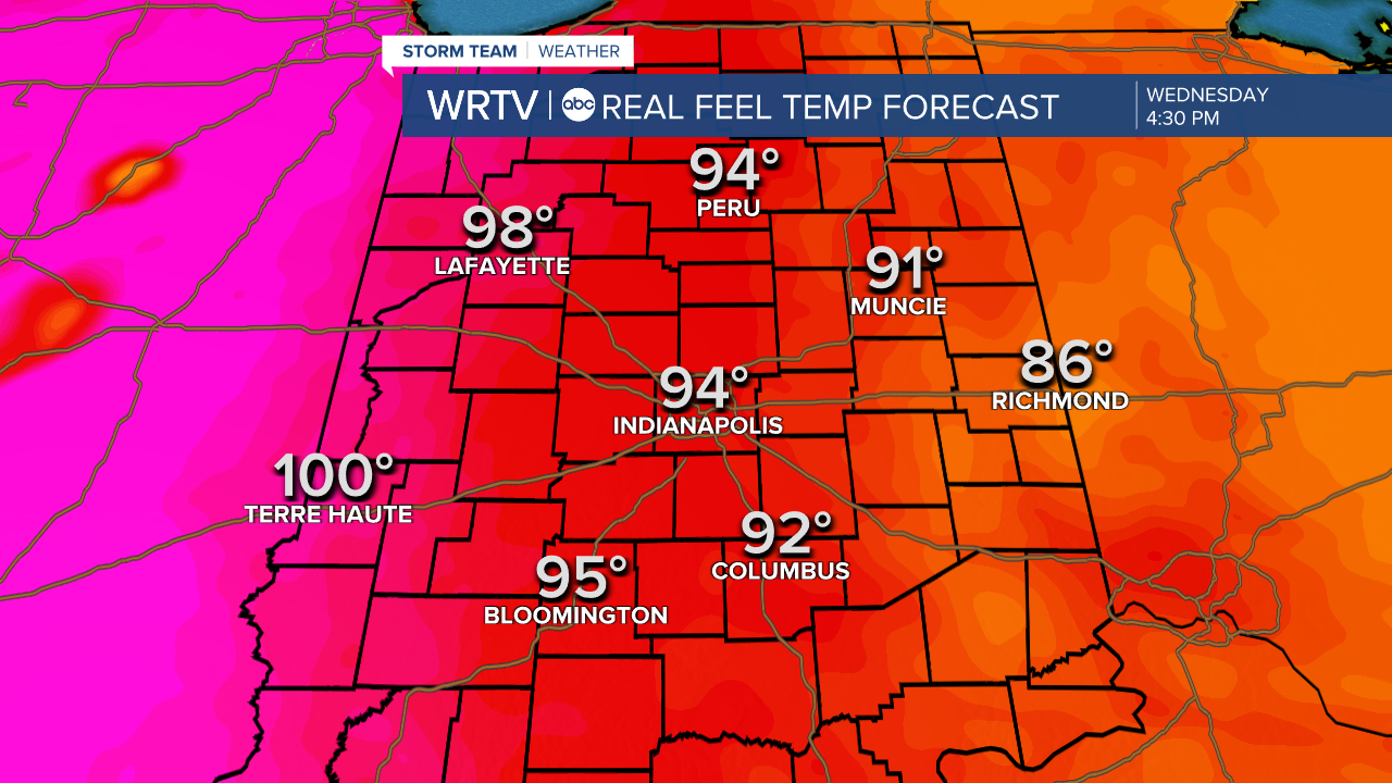
Heat indices Wednesday will be highest in the western portion of the state, potentially climbing to or over the 100 degree mark. The rest of Indiana will have feels like temperatures in the mid to upper 90s. Limit time outdoors if you can, but if you have to be outdoors, stay hydrated and take frequent breaks in shade or air-conditioning.
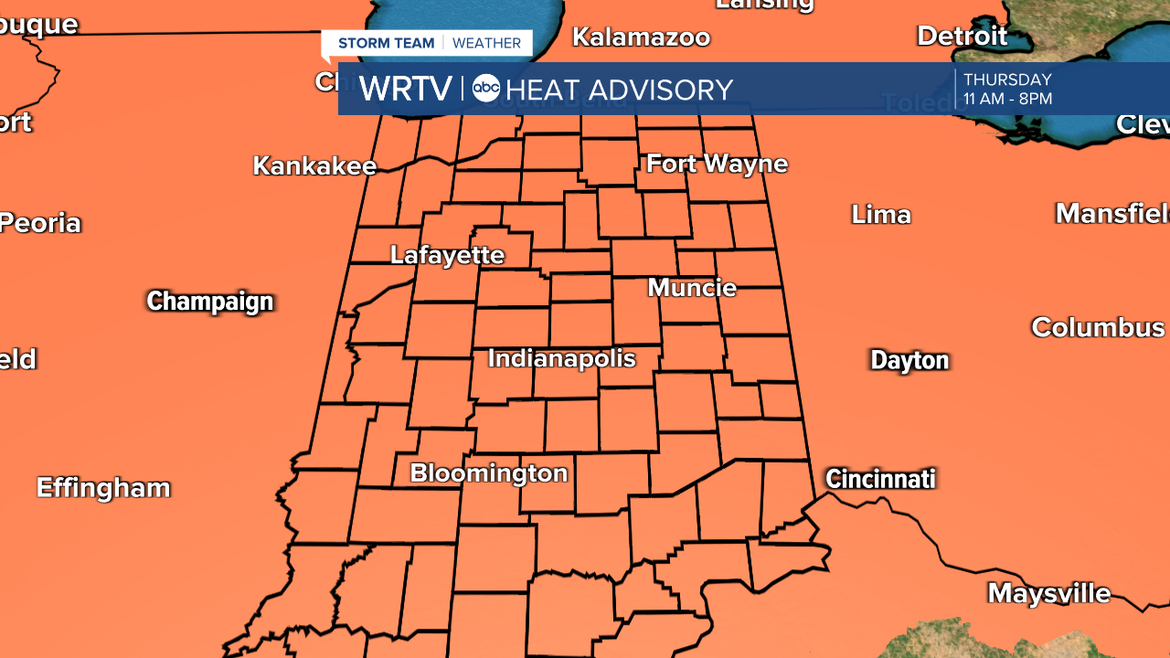
Thursday will be the hottest day of the week. A heat advisory will be in place for the entire state of Indiana from 11 a.m. until 8 p.m. Thursday, as heat indices are likely to climb into the triple digits.
Thursday evening we could see some storms, especially in the northern-most portion of the state.
Scattered storms look more likely on Friday and Saturday. This weekend and early next week it is still hot and humid.
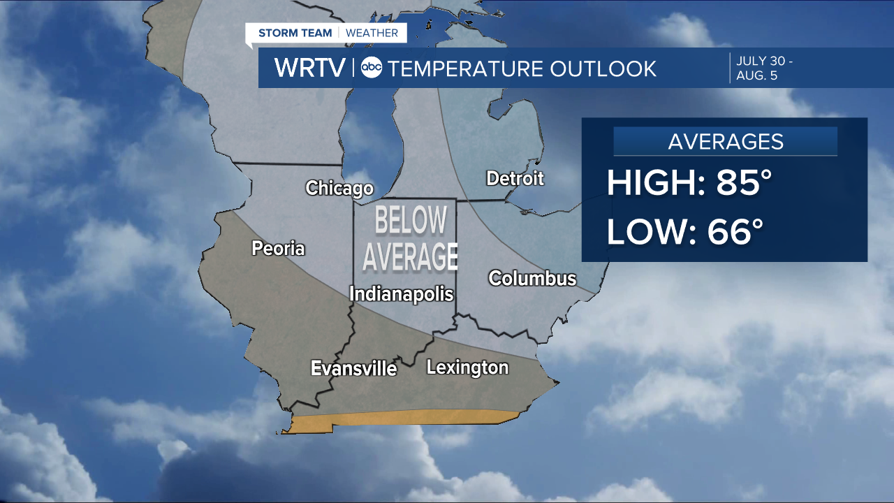
The extended outlook from July 30 – August 5 finally shows temperatures dipping below normal levels again.
Indianapolis Weather Forecast:
Today: Hot & humid. Sunny skies. High: 92°
Overnight: Mostly clear. Warm. Low: 73°
Thursday: Heat advisory. PM thunderstorm chance. High: 94°
Friday: Scattered thunderstorms. Hot & humid. High: 91°
Indianapolis 7-Day Weather Forecast