


Pamela regains hurricane strength before expected landfall in Mexico
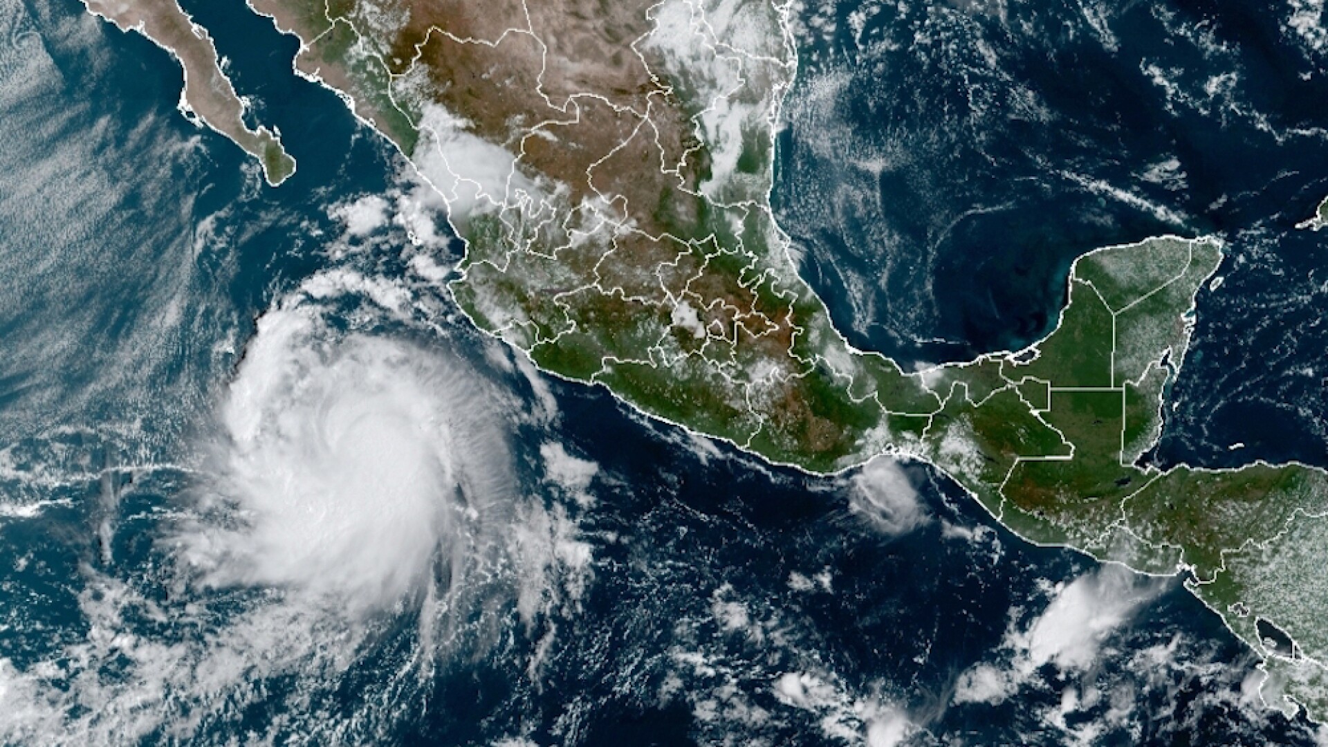
Pamela is picking up momentum in the Pacific off Mexico and has regained hurricane strength before its expected landfall north of the port of Mazatlan on Wednesday morning.
After weakening to a tropical storm on Tuesday afternoon, the National Hurricane Center says Pamela now has maximum sustained winds of 75 mph, making it a Category 1 hurricane.
As of 3 a.m. MT Wednesday morning, U.S. National Hurricane Center says the storm was centered about 80 miles west-southwest of Mazatlan and was moving northeast at about 14 mph.
The hurricane center warns of possible life-threatening storm surges, flash floods and dangerous winds around the impact area.
Weakened remnants of the storm may reach Texas by Thursday.
.Page-below > .RichTextModule {display:none;} .Page-below .Link {font-size: 12px; padding: 5px 10px;border: 1px solid #005687;border-radius: 4px;font-family: “proxima-nova”, sans-serif; }
