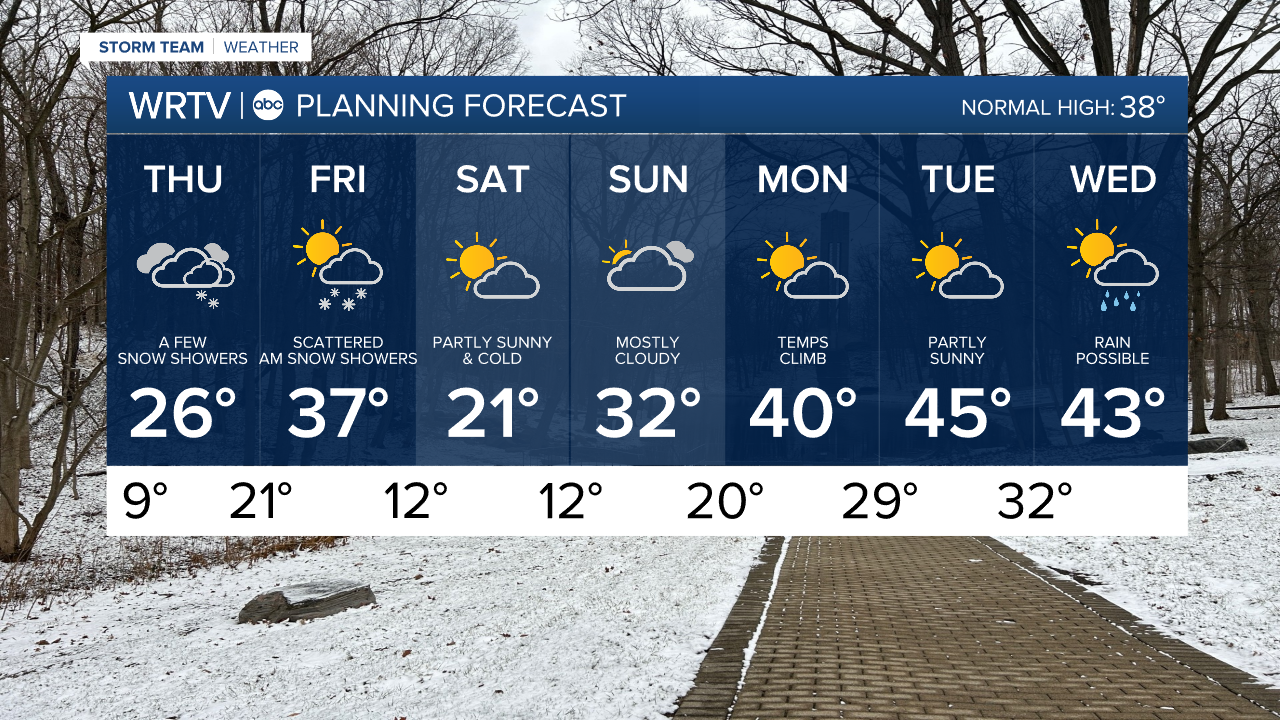
Cold Through the Weekend Before Temperatures Warm Next Week; Snow Chance Friday
Headlines
- SINGLE DIGITS OVERNIGHT FOR MANY
- LIGHT SNOW POSSIBLE FRIDAY
- MUCH WARMER NEXT WEEK
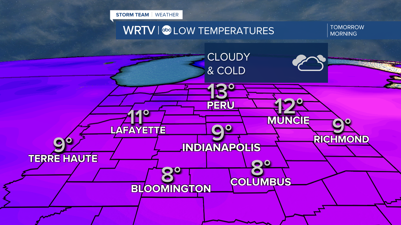
Bitter cold temperatures will return overnight, with many of us dropping into the single digits under cloudy skies. A few flurries are possible as well, but nothing significant in terms of snowfall.
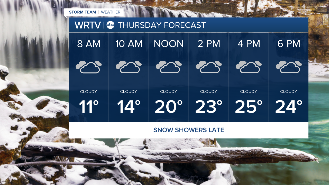
Overall, Thursday will be a mostly cloudy day with afternoon highs in the mid-20s. A few snow showers will be possible in northern locations as we move into the afternoon and evening hours.
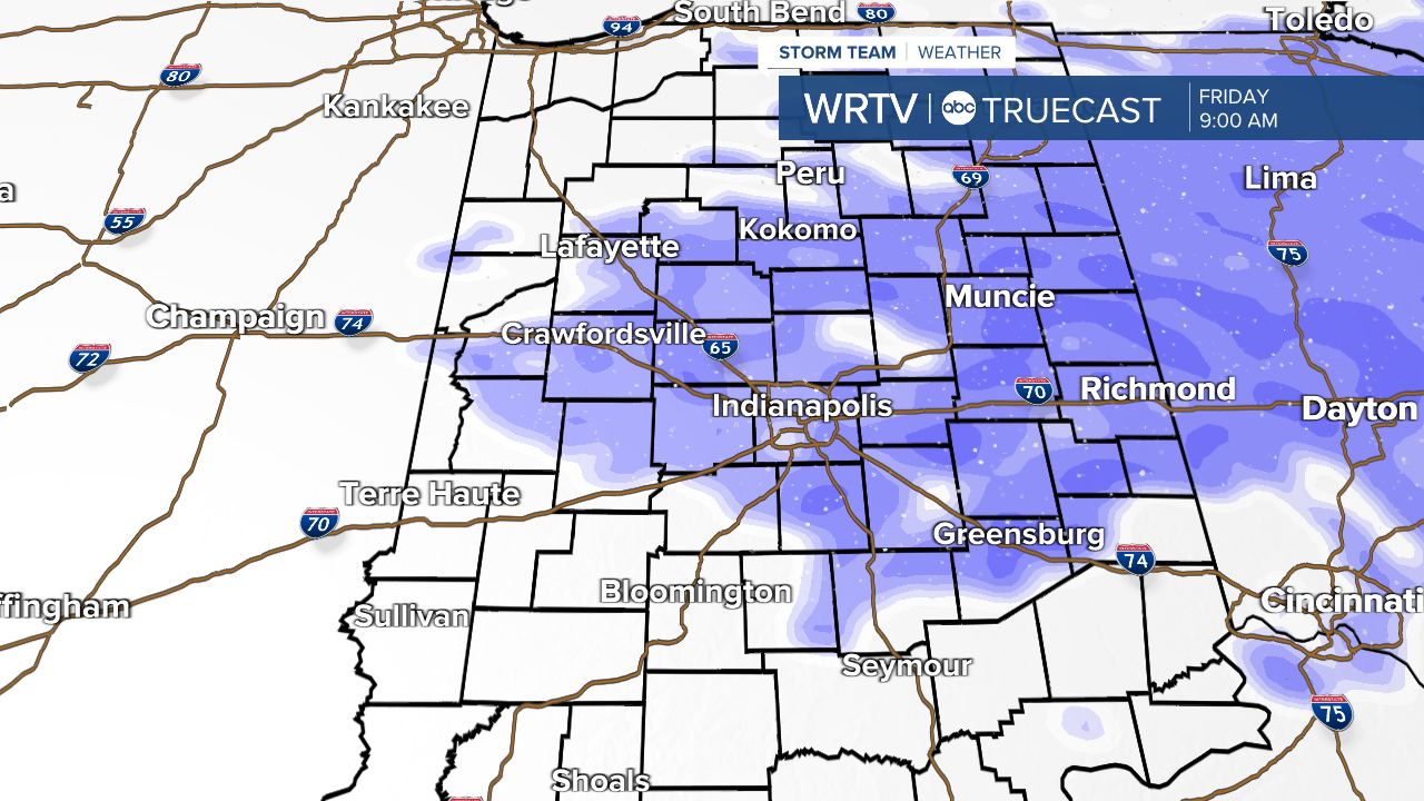
Friday morning, a clipper system will pass to the north and east of Indiana. It will remain close enough that at least parts of the area will have a chance for a little light snow. Northern and eastern locations will have the best chance of a coating to an inch, with a few areas near the Fort Wayne area possibly picking up a bit more.
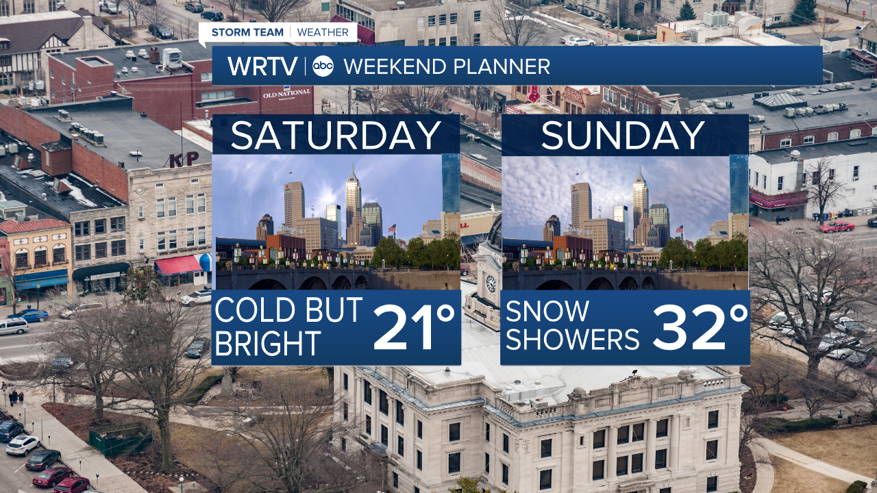
Once that system clears, we will be cold over the weekend with highs in the low 20s on Saturday, and warmer on Sunday.
The big warm-up, though, comes next week as we get into the 40s in many locations, and even into the 50s for some.
Indianapolis Weather Forecast:
Overnight: Mostly cloudy & cold Low: 9°
Tomorrow: Mostly cloudy. A few flakes High: 26°
Friday: Light AM Snow (mainly north) then cloudy. High: 37°
Saturday: Partly cloudy & Cold. High: 21°
Sunday: Mostly cloudy. High: 32°
Indianapolis 7-Day Weather Forecast