


Severe storm threat continues through Monday evening

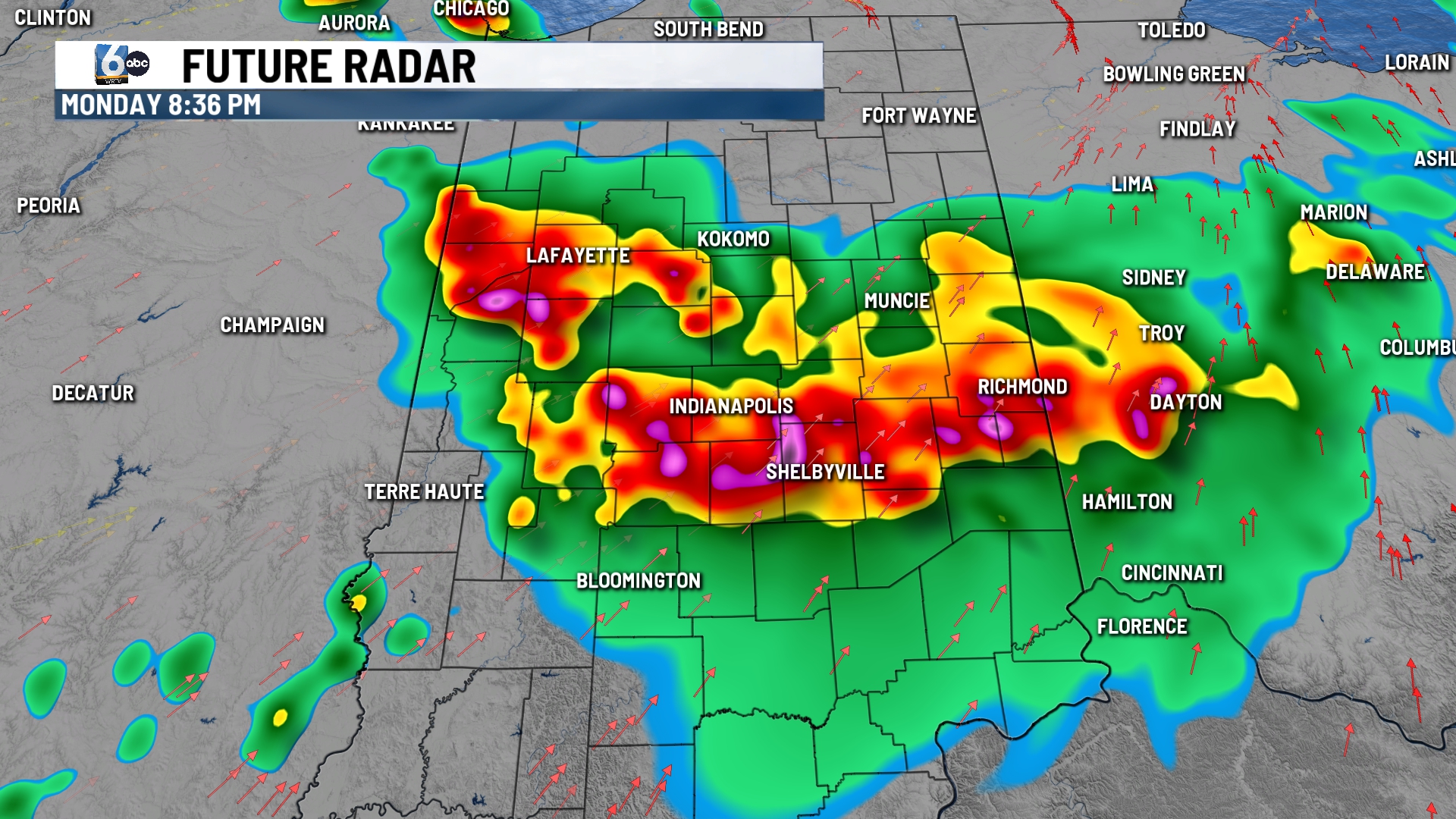
INDIANAPOLIS (WRTV) — This afternoon and evening we are tracking storms moving in from the north that have already produced damage.
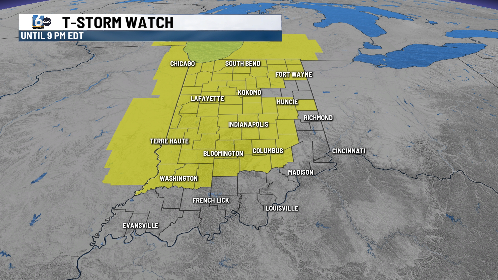
TONIGHT: SEVERE THUNDERSTORM WATCH until 9 p.m. EDT for central Indiana.
A strong cluster of storms is currently in northwest Indiana and another one is in southern Wisconsin. Primary concern is for widespread damaging winds, but quick spin-up tornadoes can’t be ruled out. Low temperatures in the mid-70s.
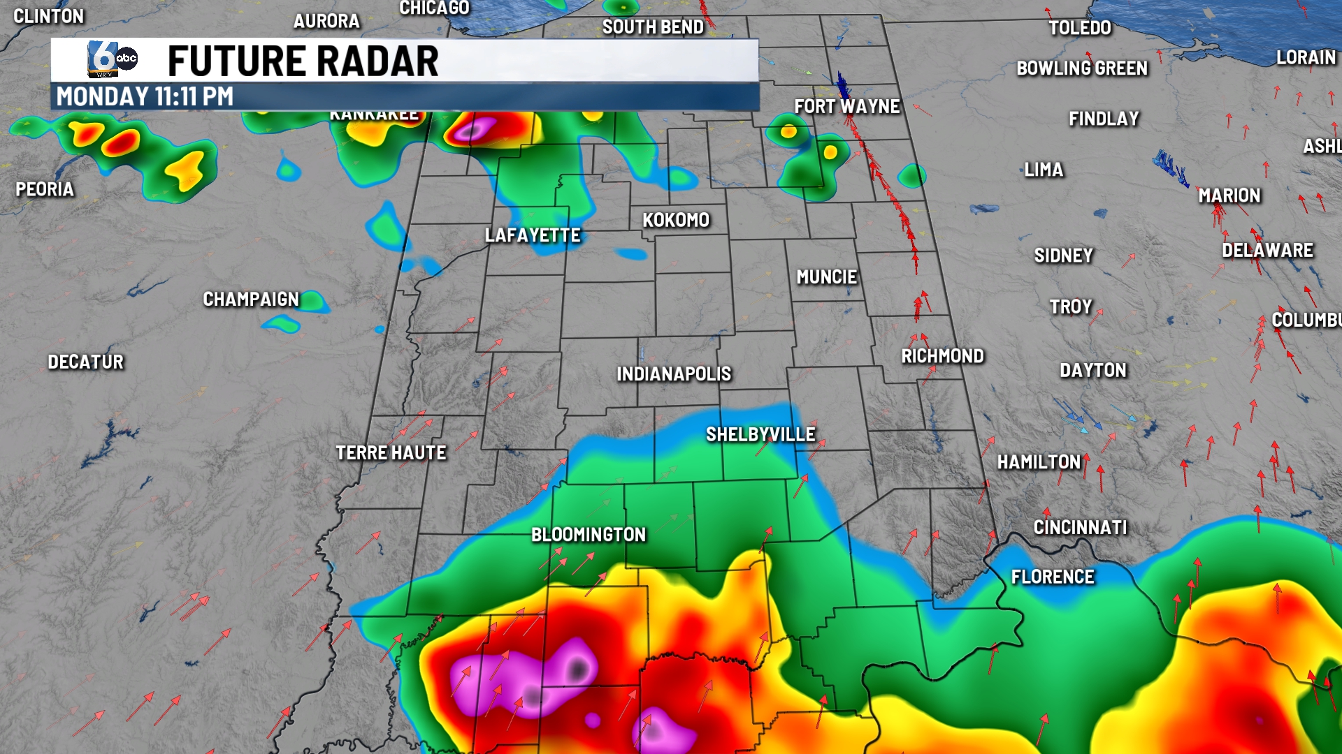
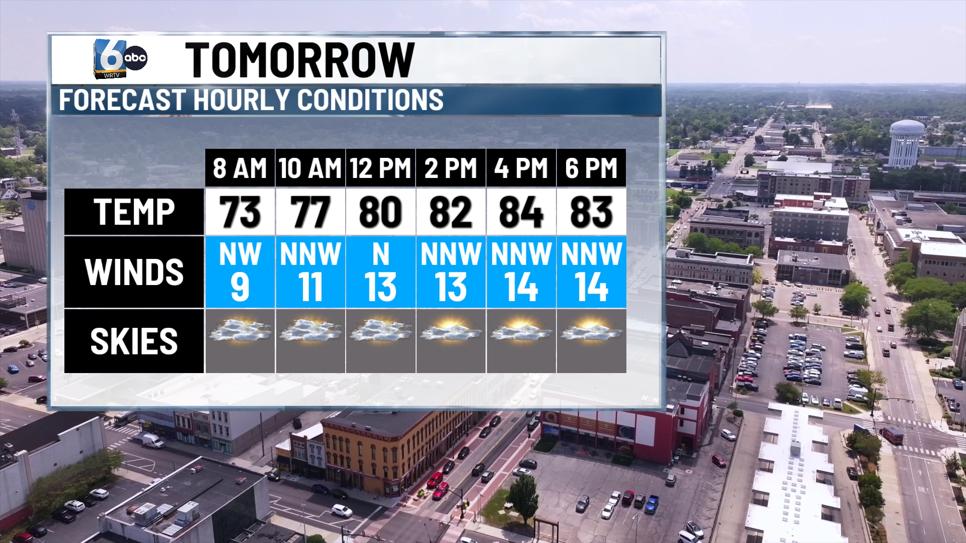
TUESDAY: Partly cloudy skies once any showers left over in the early morning hours. Behind the cold front, temperatures won’t be as warm as Monday. High temperatures in the mid-80s.
WEDNESDAY: Mostly sunny with a little haze. Wildfire smoke will be mainly elevated in our atmosphere. High temperatures in the low to mid-80s.
7-DAY FORECAST: Central Indiana will be fairly quiet through the middle of the day on Friday. Isolated or small rain chances re-enter the forecast late Friday and into the weekend.
