


Summer-like pattern across Central Indiana

INDIANAPOLIS (WRTV) — Calm weather continues as temperatures and dew points climb to finish the week and kick off the weekend.
TONIGHT:

Following sunny skies through the day, skies will remain mainly clear through the night. This will allow another cool night with temperatures dropping into the low 60s.
TOMORROW:

Pretty much copy and repeat for the day tomorrow. Skies will remain mainly clear, with a few passing upper-level clouds as High Pressure slowly shifts east. Temperatures will remain above normal, maxing out in the mid 80s
7-DAY FORECAST:
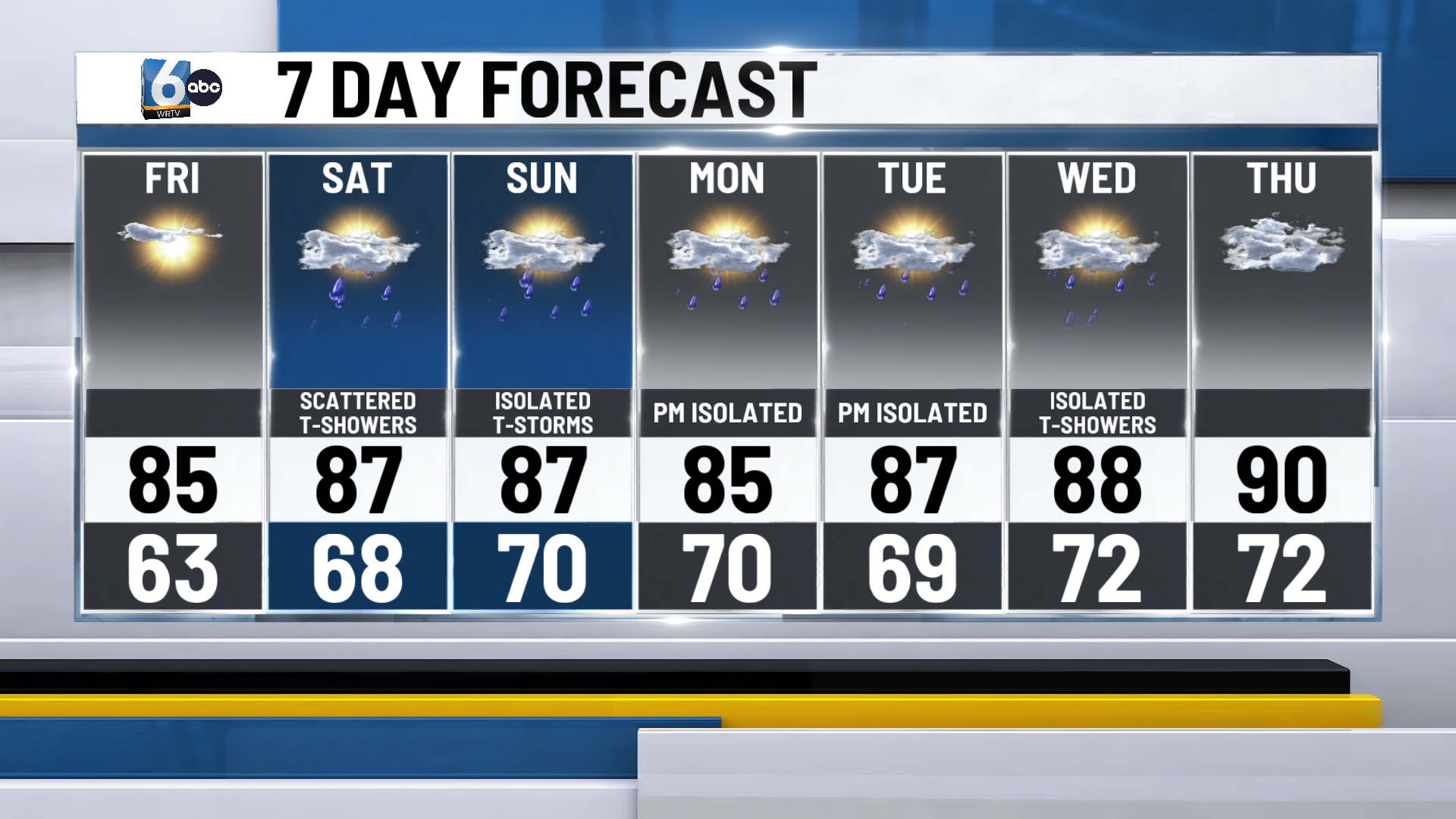
Rain chances return to Central Indiana as a weak low-pressure system passes north. A few thunderstorms will be possible as well on Sunday. However, neither day this weekend will be a washout. A summer-like pattern settles in for a new week. Dew points will climb into the 60s with temperatures remaining in the 80s. A few afternoon pop-up showers and storms will be possible Monday through Thursday.
