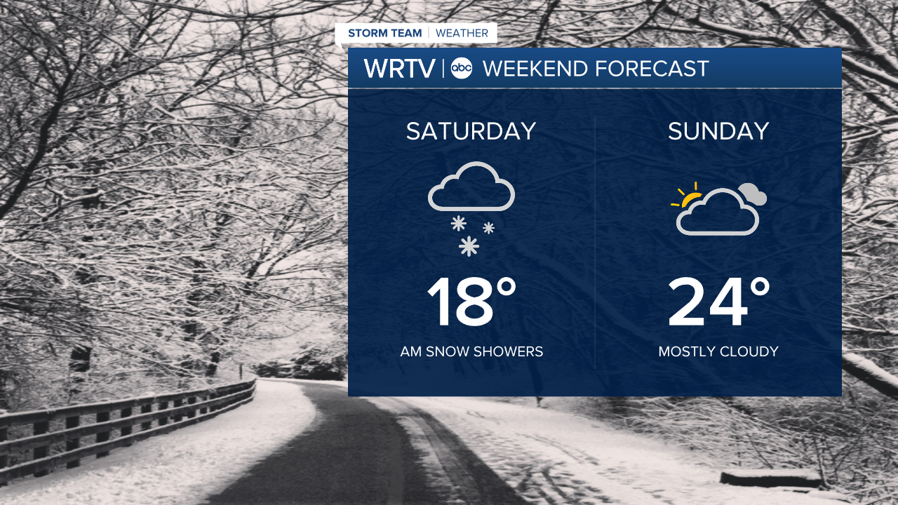


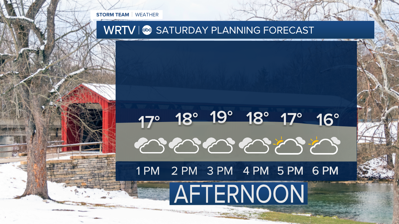
Mostly cloudy skies Saturday keep highs in the upper teens. A north breeze keeps afternoon wind chills in the single digits. A batch of snow moves south across Central Indiana with some light accumulations. Watch for any slick spots that could redevelop.
A little more sunshine brings some improvement to temperatures Sunday. We still aren't going to melt much snow, but highs in the middle 20s are a step in the right direction.

There's a slight chance for a few snow showers Monday. Our next best chance of scattered snow showers has sped up a bit. It now looks like a system could bring light snow accumulations Tuesday.
Indianapolis Weather Forecast:
Saturday: Mostly cloudy with snow showers. High: 18°
Sunday: Sun and clouds. High: 24°
Monday: Mostly cloudy. 20% chance of snow showers. High: 29°
Indianapolis 7-Day Weather Forecast

