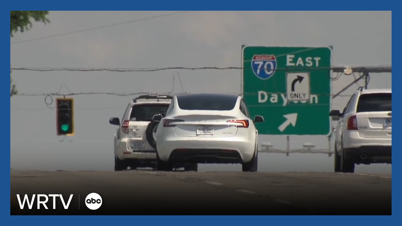
You hear us use I-70 as a dividing line a lot when it comes to many weather systems sweeping across Central Indiana. Perhaps it's areas north of I-70 getting in on the heaviest snow totals while communities south of the interstate deal with a coating of ice.
But why is that? It actually has nothing to do with the interstate itself.
I-70 stretches more than 150 miles right across the middle of Indiana. It's a landmark everyone is familiar with. That makes it a good reference point for us to share weather impacts with you.
However, there are some scientific reasons that can explain differences in weather across the state.
During the winter, temperatures do tend to be colder north than they are south. Lafayette averages a temperature of 29°, while Bloomington comes in at 33°. While those numbers aren't true of every weather system, it can help explain the difference in precipitation types from north to south.

Winter systems can also tap into Gulf moisture, which tends to boost precipitation amounts more across the southern half of the state. Bloomington typically tops nine inches of wet weather during the winter, while Lafayette averages a little more than six inches of precipitation.

So, the true dividing line in any winter storm really comes down to the conditions in the atmosphere rather than any landmark.


