

INDIANAPOLIS (WRTV) — Muggy air remains over the next few days with dew points in the 70s in central Indiana. On Wednesday, the heat index could peak close to 100 degrees.
TONIGHT:
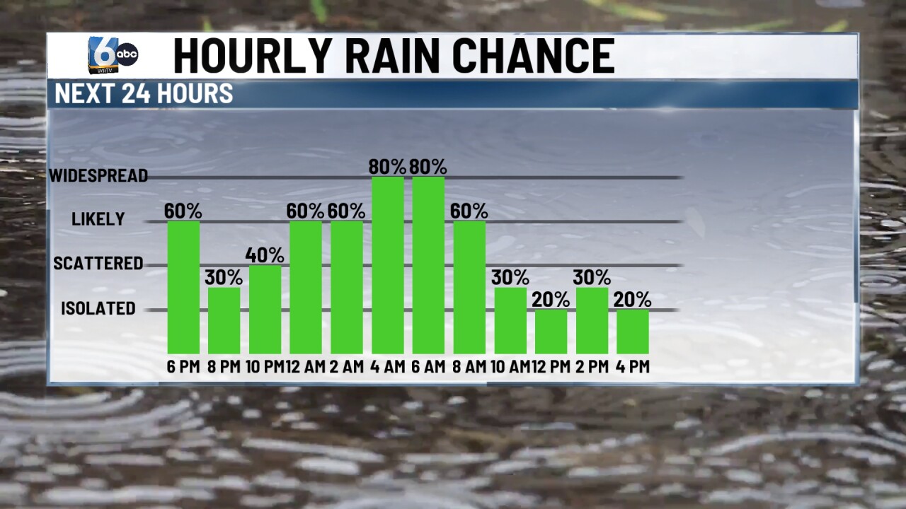
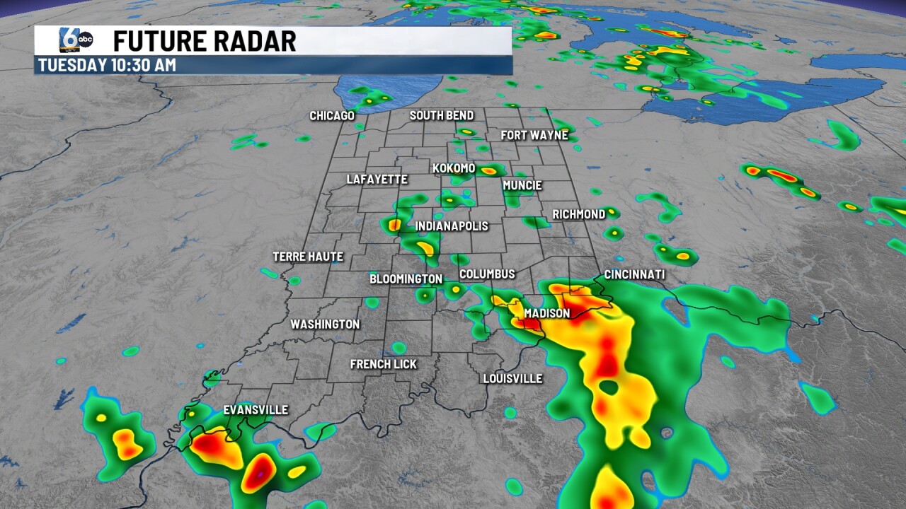
Scattered showers and storms continue. Some of these thunderstorms could bring some really intense rainfall in a short period of time. But just like we’ve seen the last few days, it’s feast or famine with the rain. Low temperatures in the upper 60s.
TOMORROW:

Scattered showers and storms are possible when waking up tomorrow. Rain chances turn spottier for the midday/afternoon hours. High temperatures in the mid-80s.


WEDNESDAY:
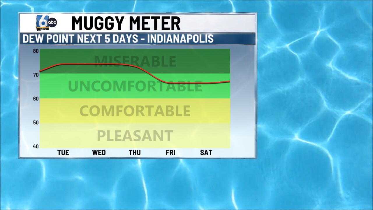
A stray storm cannot be ruled out, but more dry time is anticipated under mostly sunny skies. High temperatures make a run at 90 degrees, potentially for the first time in 2026. Factoring in the humid air, the heat index could be near 100 degrees.
7-DAY FORECAST:

Another chance of storms arrives late Thursday into early Friday AM. Much of the northern half of the state is at a slight risk of severe storms this far out. Some slight relief (not much) arrives after this weak cold front pushes through.

