

INDIANAPOLIS (WRTV) — An Extreme Heat Warning runs until Friday evening across central Indiana.
TONIGHT:
Clear skies in place. Low temperatures in the mid-70s.
TOMORROW:

Muggy air remains. Heat indices will be in the triple digits on Friday with some isolated storms late (higher odds north). There is a 2/5 risk of severe storms for wind in northern Indiana. High temperatures in the low 90s with heat index values in the triple digits.


SATURDAY/4TH OF JULY:
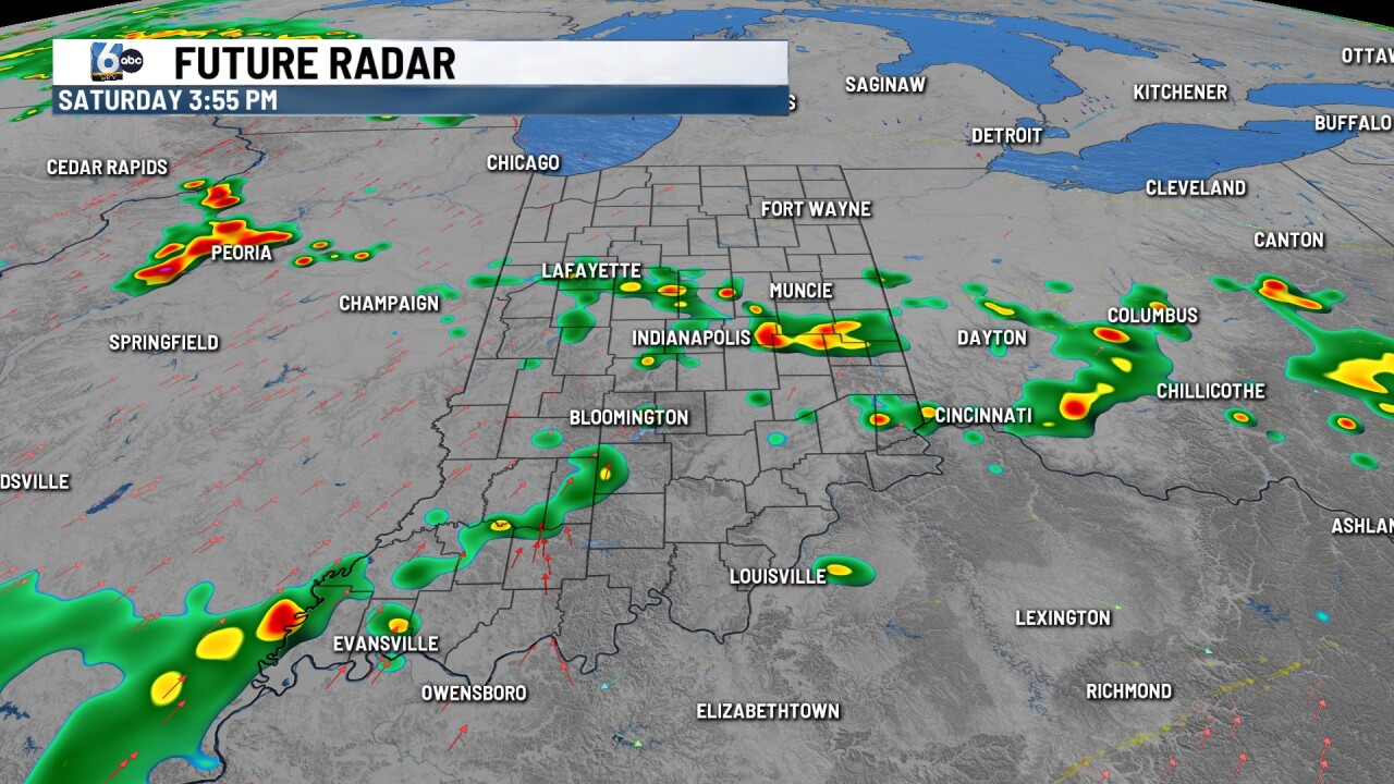
Scattered showers/storms are possible Saturday afternoon/evening. It doesn't look like an all-day washout. We may need to monitor when storms exit for any fireworks shows. High temperatures in the low 90s with heat index values close to 100 for some, depending on where rain sets up.
7-DAY FORECAST:

A front lingers around into next week. Small chances of rain are possible. High temperatures take a slight step back into the 80s, but it will be muggy.
