

INDIANAPOLIS (WRTV) — Beautiful conditions today with lots of sunshine and lighter winds. Heat returns along with several storm chances for the weekend. It’ll definitely feel much more like summer through part of next week.
TODAY

Cooler conditions this morning with temperatures into the upper 30s and lower 40s. Sunny skies today and still on the cooler side. The winds will be much lighter than what we had yesterday. High temperatures will climb to 67, which is about 5 degrees or so below normal for this time of the year.
TONIGHT

Mostly clear skies tonight. It will be on the cooler side with low temperatures falling near 47.
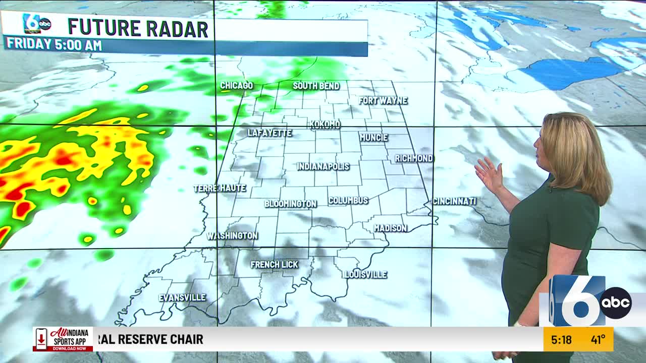
TOMORROW

Showers and a few thunderstorms will be possible for the first part of your Friday. Rain chances come to an end right around noon. The clouds hang around through much of the day with a few peaks of sunshine. It will be breezy with winds gusting at times near 20 mph. We’ll see dry conditions in the afternoon with high temperatures near normal around 72.
7 DAY EXTENDED FORECAST

Rain chances increase for the weekend along with higher temperatures and humidity.
Showers and thunderstorms will be likely on and off throughout the day on your Saturday. It’s going be warmer and more humid with a high approaching 80.
Sunday looks to be the better and dryer of the weekend days. Partly cloudy conditions with just an isolated shower chance. High temperatures climb into the upper 80s.
We could reach 90 for the first time of the season on Monday.
