


INDIANAPOLIS (WRTV) — A warmer pattern with rain chances continues until a cold front arrives late Tuesday.
TONIGHT:

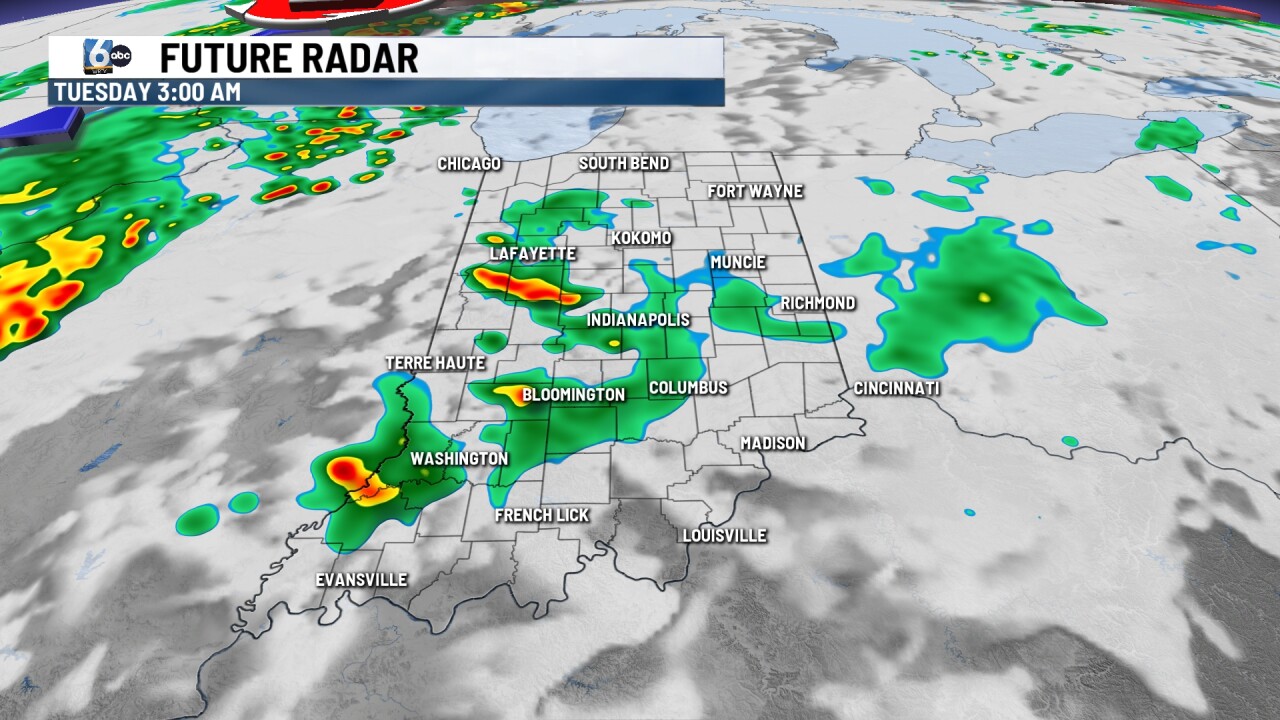
Scattered showers and storms continue through this evening. Flooding is the main concern. A Flood Watch has been posted for counties SW of Indianapolis until 11 PM EDT. Low temperatures will be mild in the upper 60s.
TOMORROW:

Mostly sunny start to the day. Scattered showers and storms develop later on in the day along a cold front. A slight (2/5) risk of severe storms is in place. Wind is the primary concern, but flooding may be a concern depending on totals from Monday. High temperatures in the mid-80s.

WEDNESDAY:
Clouds decrease in the morning to partly cloudy. High temperatures will only reach around 70 degrees behind the cold front.
7-DAY FORECAST:

Thursday is shaping up to be another drier day. A weak, slow-moving front climbs into Indiana late Friday and Saturday and potentially brings in a rain chance. Temperatures will be slightly above average for this weekend.
