


INDIANAPOLIS (WRTV) — Rain chances return to the forecast in the coming days. Flooding is something to monitor south of I-70.
TONIGHT:

Clouds increase in the coming hours. Isolated showers are possible later on. Low temperatures in the low to mid-60s.
TOMORROW:


Partly cloudy skies. Isolated rain chances in the morning become scattered in the PM hours. A marginal (1/5) risk of severe storms is in place mainly for damaging wind. The higher chances of rain will be south of I-70. High temperatures in the low 80s.

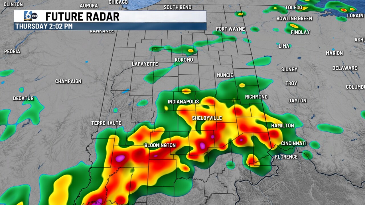
FRIDAY:

Scattered showers and storms, especially in the PM hours. Heavy rain may line up for some in south-central and southern Indiana. Currently, Indiana is not in a severe risk, but we wouldn't be shocked if we are added to a lower-end risk in southern Indiana. High temperatures in the mid-70s.
7-DAY FORECAST:

Isolated rain chances are possible mainly south of I-70 this weekend. Temperatures and dew points will climb into early next week. Triple-digit heat index values could be on the table for a few days.
