

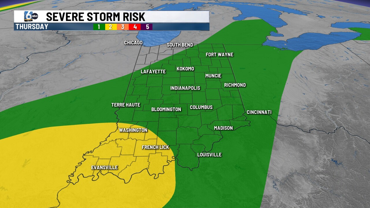

INDIANAPOLIS (WRTV) — Rain chances increase later on this evening. Flood watches are in place for southern Indiana.
TONIGHT:
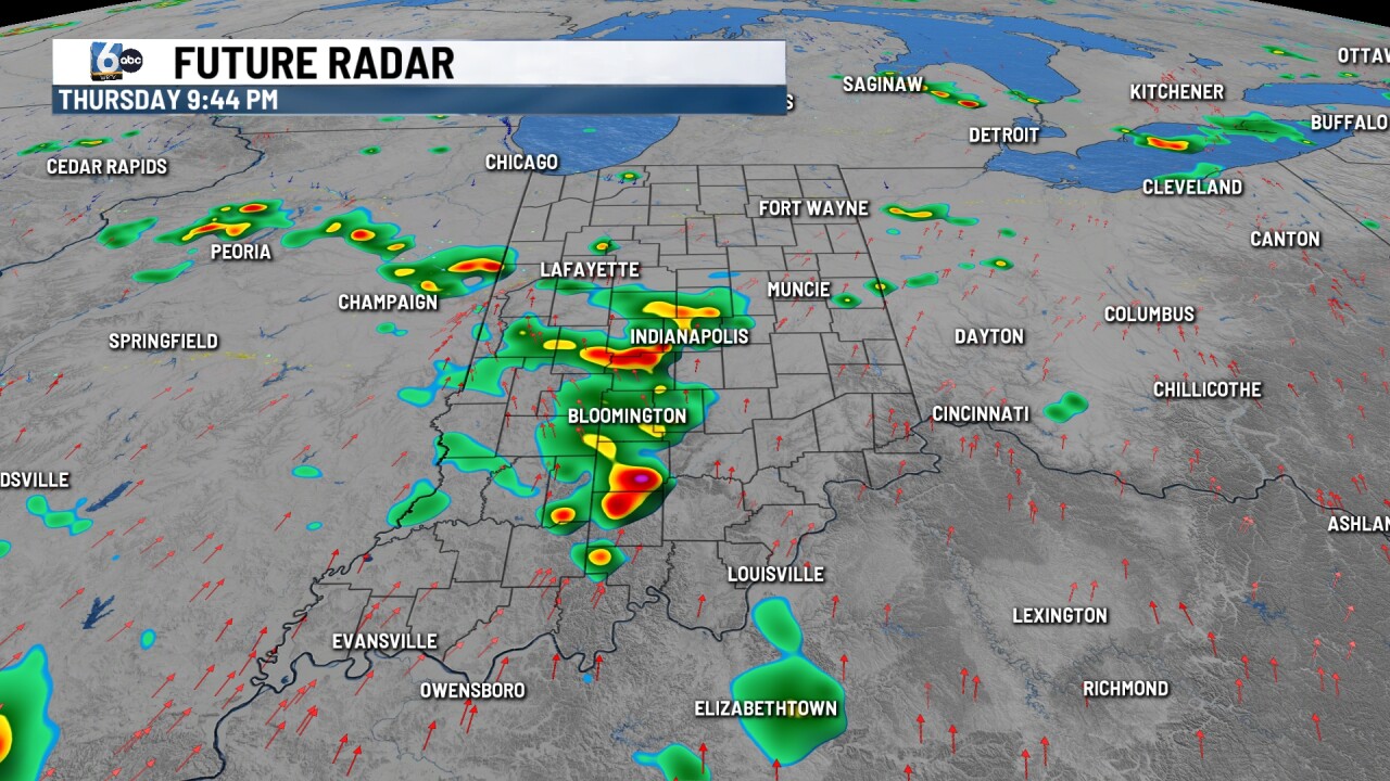
Scattered showers and storms with the focus SW of Indy. A few cells may be strong in SW parts of Indiana with wind as the main concern, but otherwise, the overall severe risk is 1/5 in central Indiana. Low temperatures near 70 degrees.
TOMORROW:
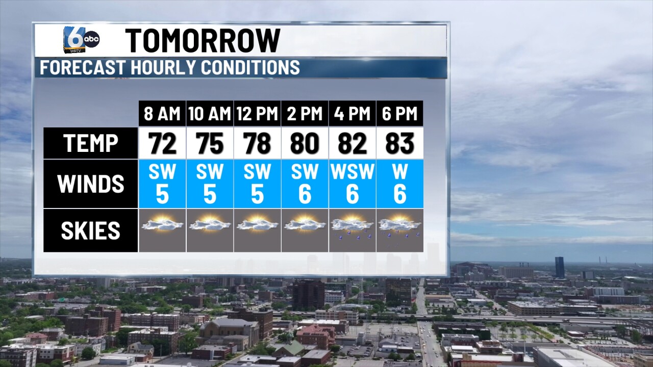
Partly cloudy skies in place. Another round of scattered pop-up storms develops later on in the afternoon and evening hours. High temperatures in the mid-80s.

SATURDAY:
Spotty showers and storms remain possible. The higher chances will be in southern Indiana. High temperatures in the mid-80s.
7-DAY FORECAST:

Beyond Saturday, we go back to drier conditions for much of next week. A heat dome will build to our west, and we will see how much our temperatures climb as we get closer. For now, multiple days will straddle the 90-degree mark.
