


INDIANAPOLIS (WRTV) — An air quality alert expires at midnight tonight. We will still monitor for a hint of wildfire smoke from Canada over the next couple of days.
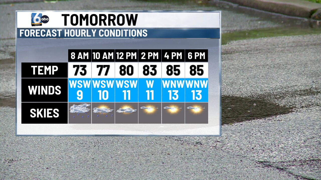
TONIGHT: Partly cloudy skies. Low temperatures in the low 70s.
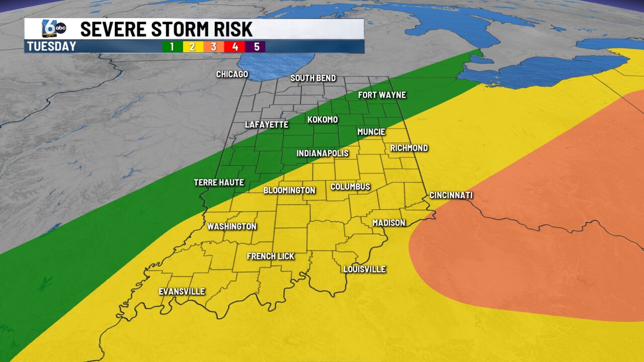
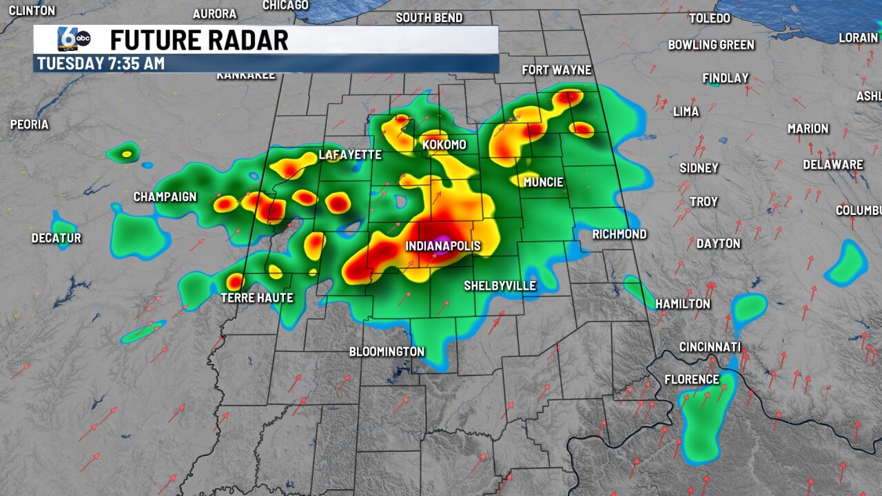
TUESDAY: Showers and storms are likely in the morning across central Indiana. The threat then shifts to SE Indiana for redeveloping showers and storms in early PM hours. Wind and heavy rain are the main threats.

Some wildfire smoke builds back into the area behind the cold front late tomorrow. High temperatures in the upper 80s.

WEDNESDAY: Mostly sunny skies. Dew points dip back into the comfortable range. High temperatures in the mid-70s.
7-DAY FORECAST: A quiet stretch of weather settles in for the end of the week. Temperatures return to the mid and upper 80s this weekend. Dew points will rise, especially as the weekend goes on.
