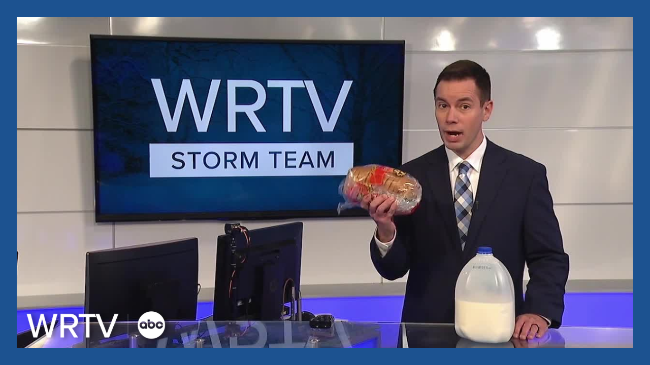


Before you rush off to the store to buy bread and milk this winter, it's a good idea to know the difference between the various alerts issued by the National Weather Service. This will give you a better idea of how impactful a storm is expected to be.
A Winter Storm WATCH is usually issued 12 to 48 hours ahead of impactful winter weather. The watch is a heads up followed by either an advisory or warning.

A Winter Weather ADVISORY means you should expect three to four inches of snow within a 12 hour period, a quarter inch or less of ice or one to two inches of sleet.

A Winter Storm WARNING elevates these thresholds. A warning means to expect either five inches or more of snow, a quarter inch or more of ice or more than two inches of sleet.

A fairly new alert is a Snow Squall WARNING. When this is issued, it means intense bursts of snow are expected to create quick changes in visibility and could lead to slick and dangerous roads. You should avoid driving in the warned area until the squally weather has come to an end.

