

INDIANAPOLIS (WRTV) — A hot and humid day is on tap, with temperatures climbing into the upper 80s and low 90s.
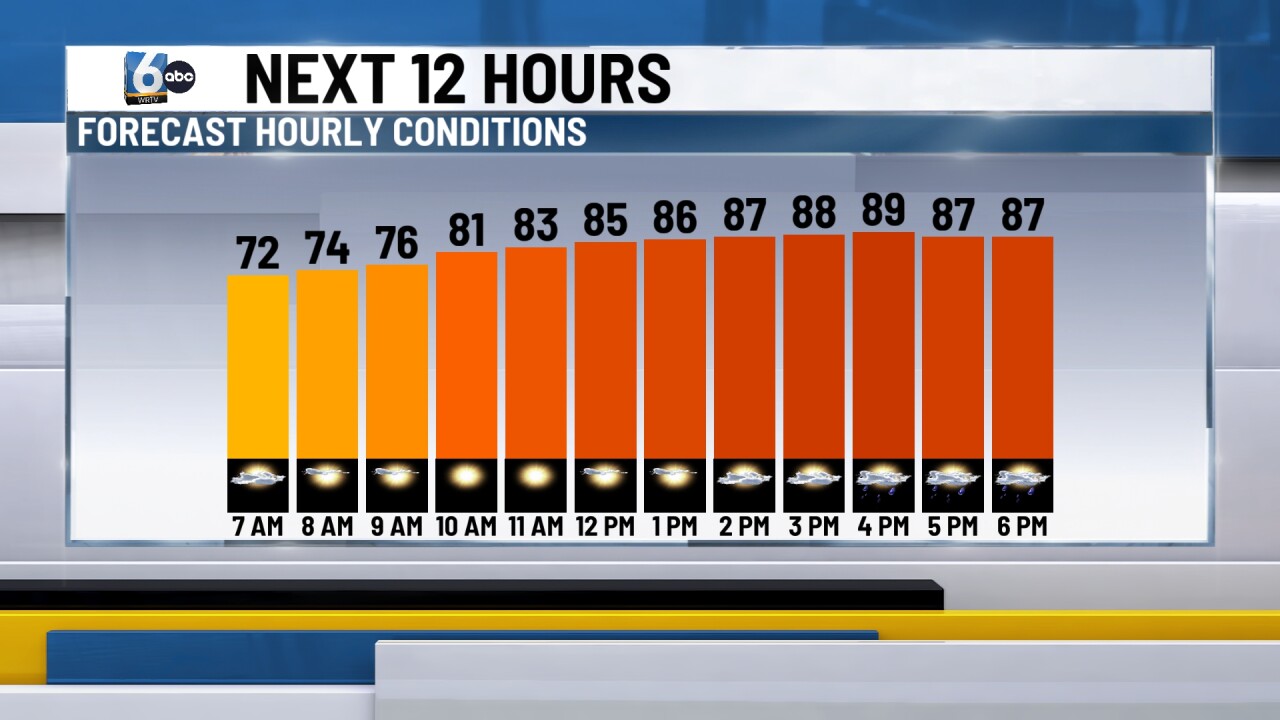
TODAY — The morning will remain dry, but be prepared for increasing chances of showers and thunderstorms later this afternoon, with activity most likely this evening. The region faces a Level 2 out of 5 risk for severe weather, meaning scattered strong storms are possible. The primary concerns include damaging wind gusts, heavy downpours, and pockets of small hail.

TONIGHT — Showers and storms will exit the area after midnight, allowing temperatures to settle near 70 degrees for the overnight low.

TOMORROW — Mostly sunny with comfortable highs in the mid-80s, but smoke will return to the area behind a passing cold front. An Air Quality Alert will be in effect from midnight tonight through midnight Monday.

7-DAY FORECAST — Looking ahead to the week, expect a mix of sun and clouds on Monday, with lingering smoke possible. Shower and storm chances will increase late Monday into Tuesday, and some storms could be strong or severe. Midweek will bring much cooler temperatures, with highs dropping to around 80 degrees.
