

INDIANAPOLIS (WRTV) — Calm weather ends the week, but increasing dew points will be followed by returning storm chances.
Tonight:
Following sunny skies through the day, clouds will build in through the overnight hours. This will keep temperatures on the warm side, dropping into the low 70s and upper 60s.
TOMORROW:
A few rounds of showers and storms will be possible on Saturday. The first round of activity will be possible from 5 a.m. to 9 a.m. Heavy downpours and gusty winds will be possible.
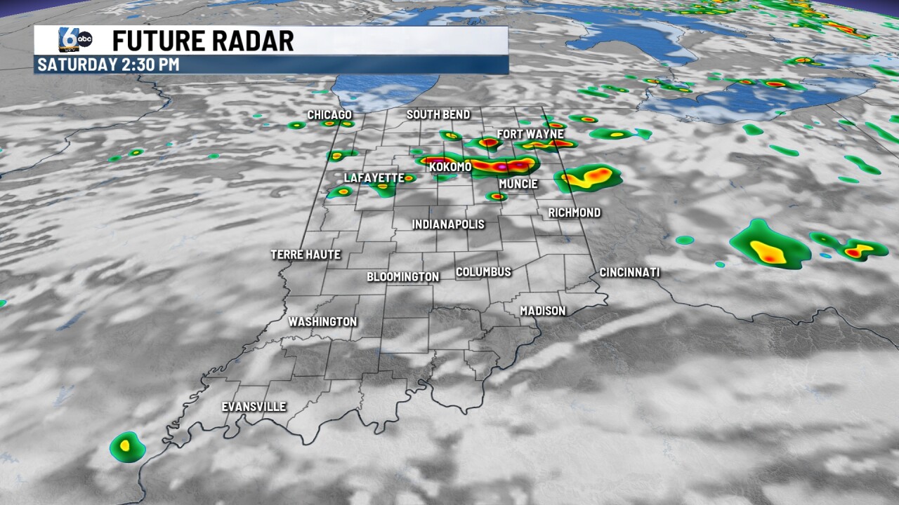
The rest of the morning and the afternoon will feature mainly calm weather. Activity will build back in around dinner time. Showers and storms will be possible along and north of I-70.

These storms can be strong to low-end severe. The highest impacts will be heavy downpours and cloud-to-ground lightning.
Gusty winds and small hail will be possible as well.

7-DAY FORECAST:
Activity continues for the day on Sunday with a few isolated showers and storms possible. The new week will feature more rain and storm chances.
Everyday during the new week will see rain chances, however, no day will be a washout. Each day will see the potential for afternoon and evening showers and storms.
Alongside the rain chances, temperatures and dew points will be on the rise. Every day next week, temperatures will be above normal in the mid to upper 80s, with spots hitting the 90s by the end of next week.
