
INDIANAPOLIS — We are nearing a larger pattern flip this weekend.
TODAY
Shower/storm coverage turns much more spotty mainly north of Indy into the afternoon hours with breezy winds persisting. Highs in the mid to upper 70s.
TONIGHT

Dry and cooler with lows In the upper 50s.
FRIDAY
Warmer with plenty of sunshine. Highs in the low to mid 80s. Some spots could push the upper 80s south of here.
7-DAY FORECAST
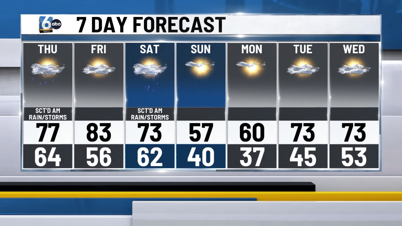
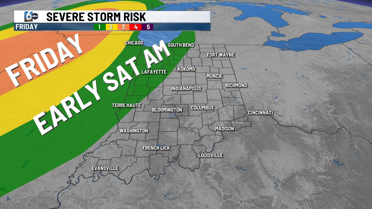
Stronger cold front inbound Saturday with a level 1/5 risk for strong to severe storms. Wind is the primary threat. Temperatures drop considerably Sunday with highs only in the mid to upper 50s. Monday morning may pose a frost risk with morning lows in the mid 30s. It will not take long to warm up, and then there are signals for another round of active weather later into next week. More details to come when we get closer.
