

INDIANAPOLIS — A warm week continues with a couple of rain chances on the horizon.
TONIGHT
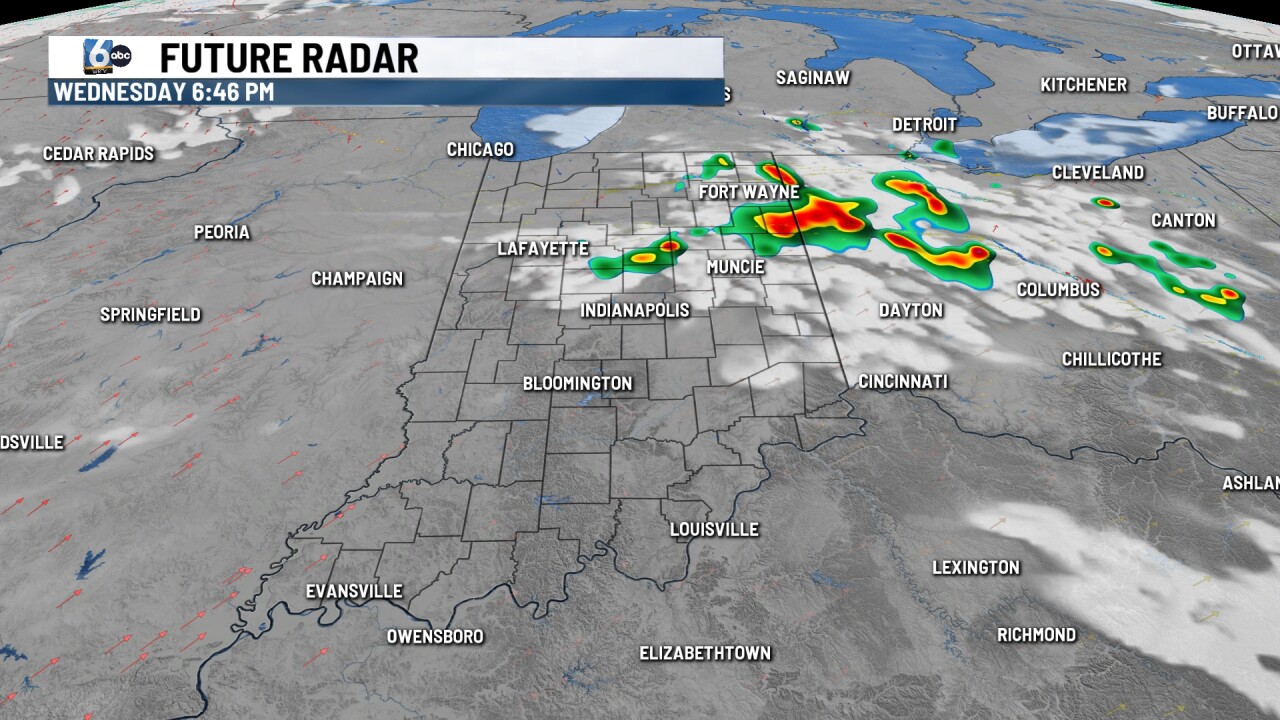
Isolated showers/storms mainly northeast of Indianapolis this evening. A low-end risk of severe storms is in place for hail and wind. The majority of central Indiana remains dry. Mostly clear skies for the rest of the night. Low temperatures in the upper 50s.
THURSDAY

Mostly sunny & warm. High temperatures get back into the low 80s.
FRIDAY
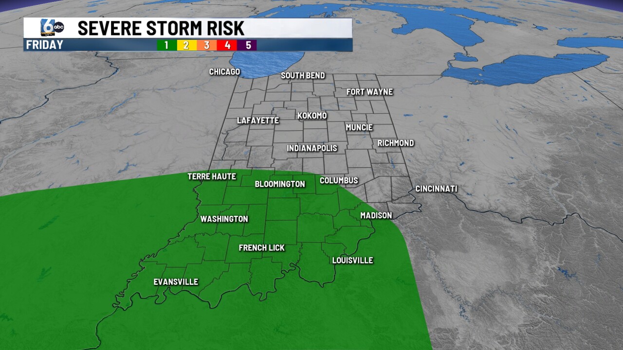
Scattered showers and storms mainly in the afternoon and evening. A marginal (1/5) risk is in place for south central and southern Indiana. High temperatures in the mid to upper 70s.
7-DAY FORECAST

A lingering shower can't be ruled out early Saturday, but the bulk of the weekend is looking dry. Both days will be in the 70s. Indiana will have to pay close attention late Monday. A potent system is expected to develop and we will see if Indiana is added to the risk zone as we get closer.
__
