


Headlines
- BECOMING CLOUDY & BREEZY FRIDAY
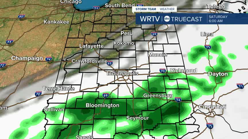
- FEW SHOWERS FRIDAY NIGHT/SATURDAY MORNING
- COOL BUT DRY WEEKEND
A cold front will push through the area later today, giving us a breezy, mostly cloudy second half of the day. Wind gusts 20+ mph are possible. Before the front, skies may look milky or hazy at times, as wildfire smoke is lingering in the air above the Hoosier state. The smoke should clear following the front.

High temperatures will make it into the lower 70s to the north. The front moves from north to south, allowing areas south of Indianapolis to warm a bit more into the upper 70s.

For your Friday night plans, skies are cloudy, and a few light rain showers or sprinkles are possible, but it shouldn't be a complete wash for your plans.

While a few showers linger into early Saturday morning, most of the day is dry with some clouds clearing. Temperatures will be near 70° both Saturday and Sunday, so it will be cool but sunny for outdoor weekend plans. Fall-lovers will really enjoy this weekend's forecast!

High temperatures will warm through the 70s and into the low 80s as we look to next week.
Indianapolis Weather Forecast:
Today: Sun & clouds. Breezy. Shower chance late. High: 76°
Overnight: Scattered rain showers. Low: 52°
Saturday: Clouds clearing and cooler. High: 71°
Sunday: Mostly sunny and cool. High: 70°
Indianapolis 7-Day Weather Forecast

