


Headlines
- SLIGHT COOLER NEXT COUPLE DAYS
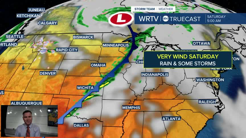
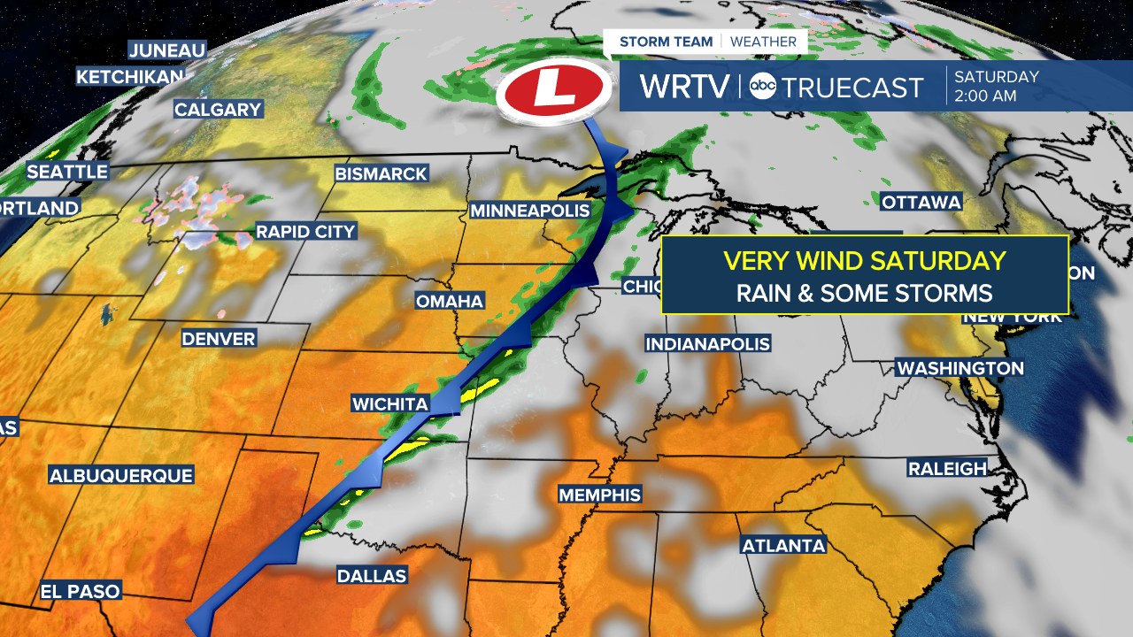
- STRONG WEEKEND STORM
- VERY WINDY WITH SOME RAIN SATURDAY
A touch more cloud cover is expected on Wednesday, which will keep temperatures a bit cooler. However, we will still be above normal for this time of year as highs climb into the low 70s.

Our attention will be focused on Saturday in the extended forecast. A strong storm system will impact the area as a cold front moves through. It will be very windy across the entire region, with rain developing as the day goes on. Some thunderstorms will also be possible. If you have afternoon or evening plans, be aware of this—especially for IU Homecoming, the game, and other major outdoor events this weekend. We’ll fine-tune the timing as we get closer, but it currently looks like more of a late-day or evening event for us. Some showers may linger into Sunday as well.
As for severe weather, the Storm Prediction Center has highlighted extreme southwest Indiana. At this time, the best parameters for severe weather are outside our area, but a strong storm or two will still be possible.

Indianapolis Weather Forecast:
Overnight: Partly cloudy. Not too chilly. Low: 56°
Wednesday: Sun & Clouds. High: 73°
Thursday: Mostly sunny. High: 71°
Friday: Partly cloudy. High: 74°
Saturday: Windy - Rain likely with a storm chance. High: 78°
Indianapolis 7-Day Weather Forecast

