


Headlines
- MOSTLY SUNNY & WARM SUNDAY
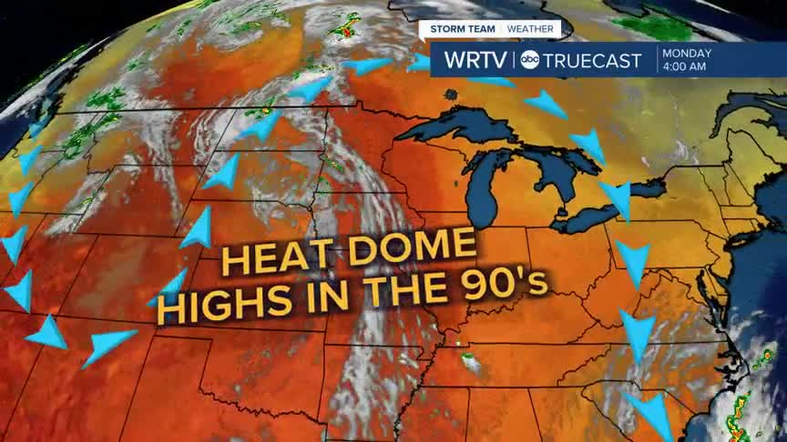
- CORE OF THE HEAT ARRIVES MONDAY
- COOLER BY NEXT FRIDAY
After some cooler temperatures and some needed rain on Saturday we are right back to the heat for our Sunday. Look for mostly sunny skies and temperatures that will be climbing into the mid to upper 80s across the area. You may notice a little more humidity as well.

If you are heading to the Colts game, it will be warm for tailgating, with temperatures in the low to mid 80s. Highs on Sunday will reach the upper 80s, with partly cloudy skies. The sun is still fairly strong, so make sure to wear sunscreen if you’ll be outdoors.

The core of the heat arrives to start the work week. High temperatures will be in the 90s from Monday through possibly Thursday, before a cold front brings cooler air and our next chance for rain.

While we may get close, it looks like record highs will likely stand for another year.
Indianapolis Weather Forecast:
Today: Partly cloudy. Sct. storms. High: 82°
Overnight: Partly cloudy. Spot storm. Low: 65°
Tomorrow: Mostly sunny. High: 87°
Monday: Mostly sunny. High: 90°
Indianapolis 7-Day Weather Forecast

