


Headlines
- SOME PATCHY FOG OVERNIGHT
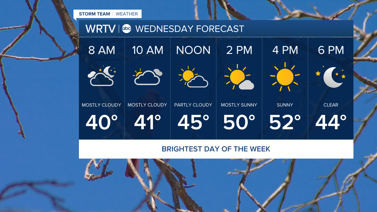
- CLOUDS DECREASE WEDNESDAY FOR PM SUNSHINE
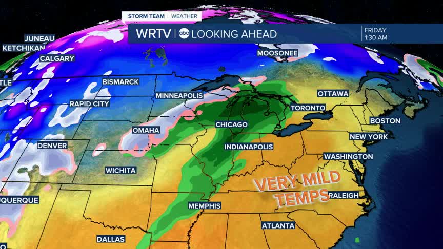
- MILD TEMPS THROUGH FRIDAY
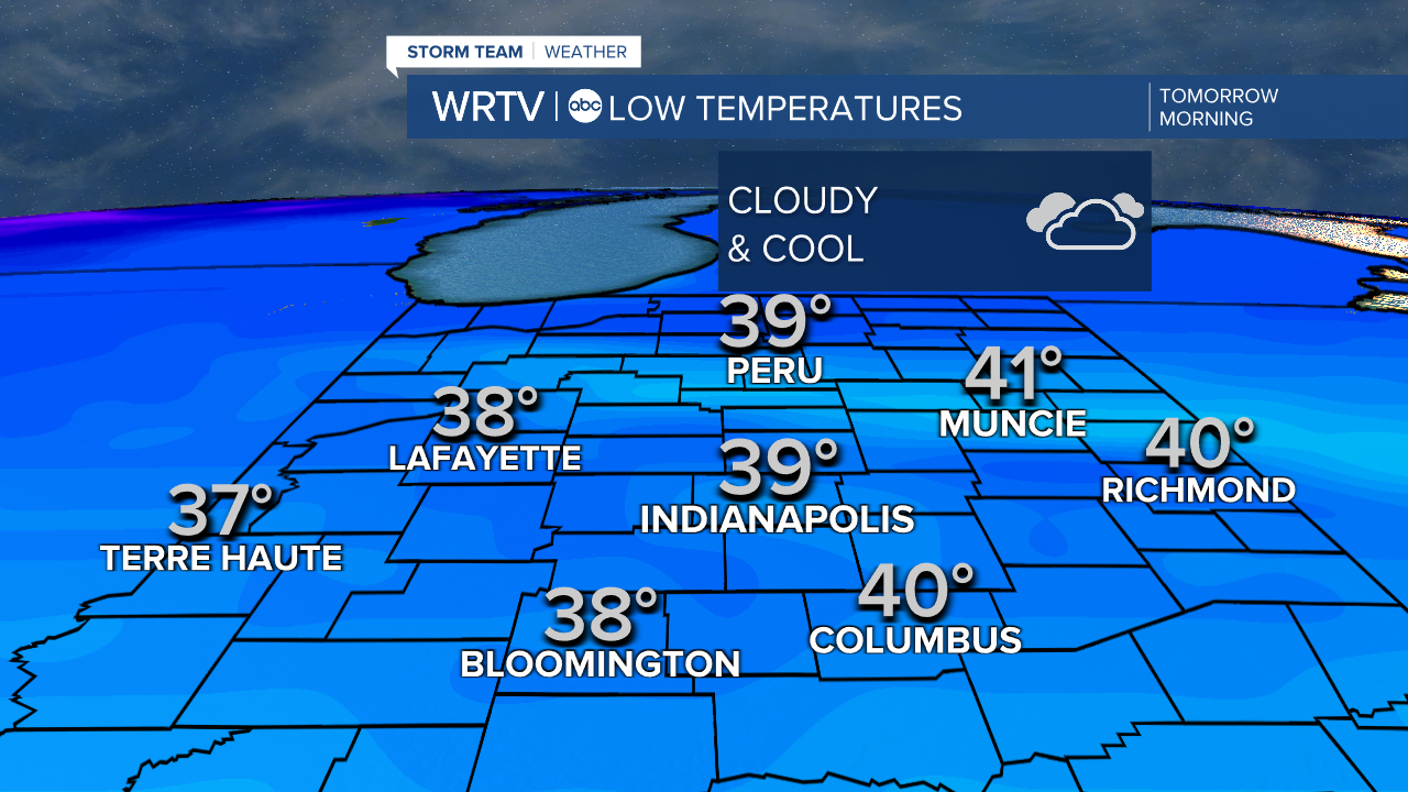
Temperatures will be a bit cooler overnight, dropping into the mid to upper 30s across the area under cloudy skies. Keep in mind that our normal high for this time of year is 36°, so our overnight lows are running above average—we are in good shape.
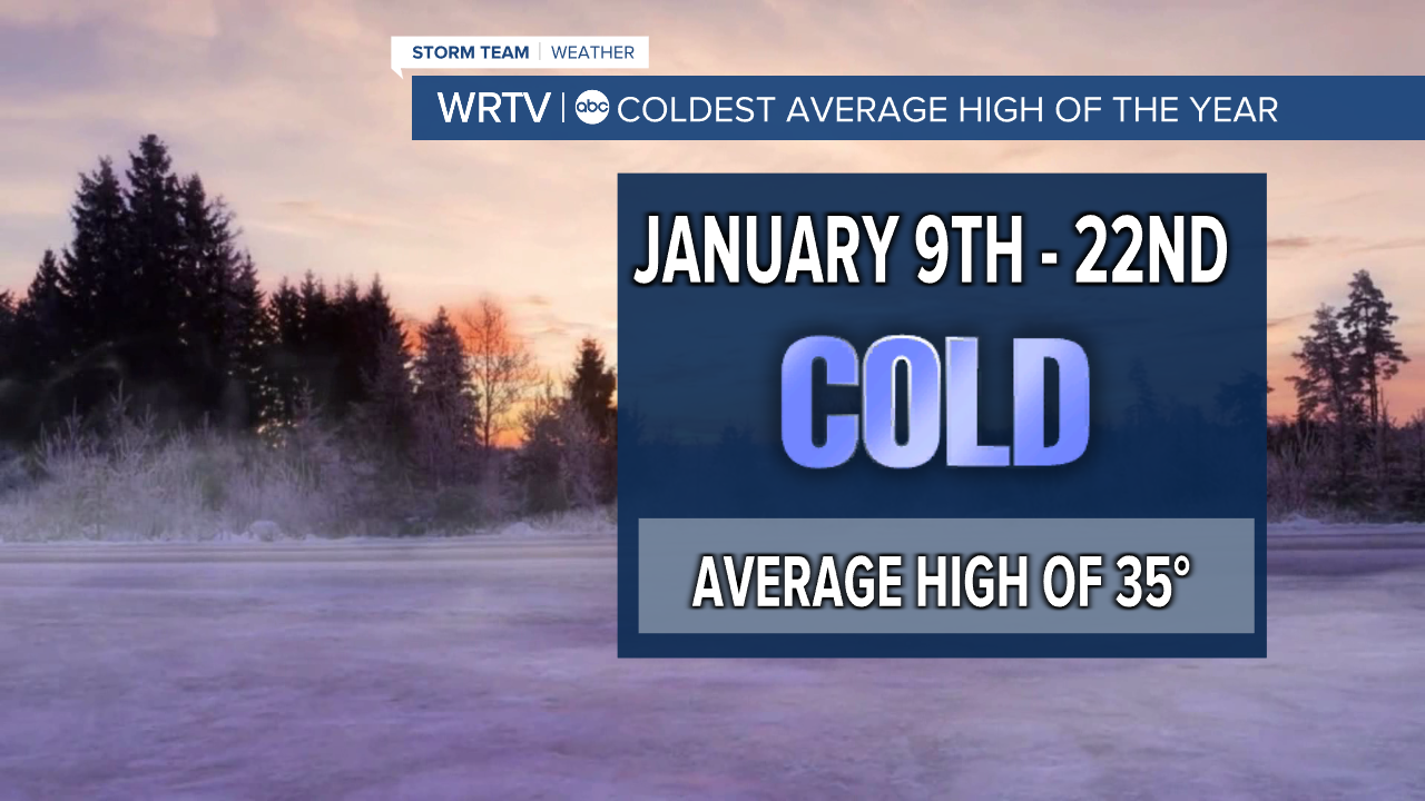
Speaking of average highs, starting on Friday of this week and lasting until the 22nd, our average high drops to 35°. This is, on average, the coldest stretch of winter. As you know, though, we don't always see average temperatures, and it looks like for much of that period we will be above normal.
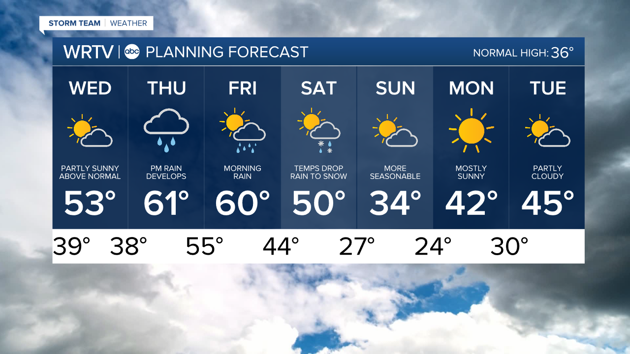
Wednesday will start with some clouds and end with plenty of sunshine. It will be the brightest day of the entire week. Highs will be in the low 50s.
Thursday and Friday will be around 60°, but with rain. Rain will develop Thursday afternoon and evening, and some thunder will be possible as well. That rain will continue into Friday morning before tapering off. Some of the rain could be heavy at times.
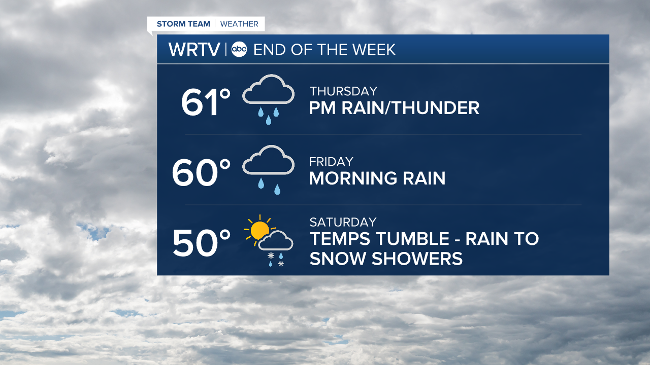
Saturday will start mild but temperatures will fall with the front passing through. Look for some rain showers to turn to snow showers.
Indianapolis Weather Forecast:
Overnight: Mostly cloudy. Low: 39°
Wednesday: Morning clouds then partly cloudy High: 53°
Thursday: Dry start. Rain develops PM. High: 61°
Friday: Morning rain. Mild. High: 60°
Saturday: Temps tumble. Rain to snow showers. High: 50° but falling
Indianapolis 7-Day Weather Forecast