


Headlines
- SLICK SPOTS POSSIBLE BOTH WEDNESDAY MORNING AND FRIDAY MORNING
- HEAVY RAIN THURSDAY AFTERNOON
- 30° TEMP DROP THURSDAY INTO FRIDAY
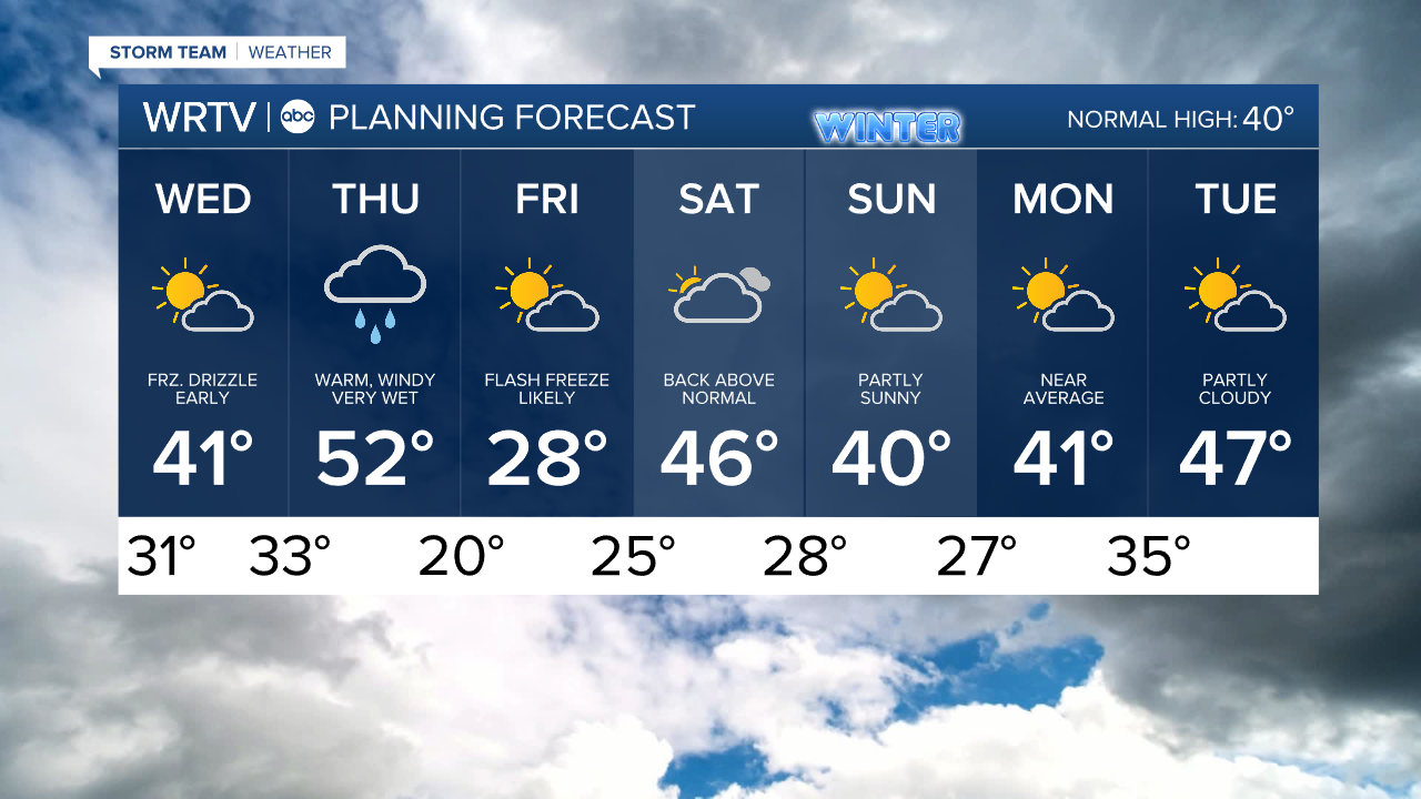
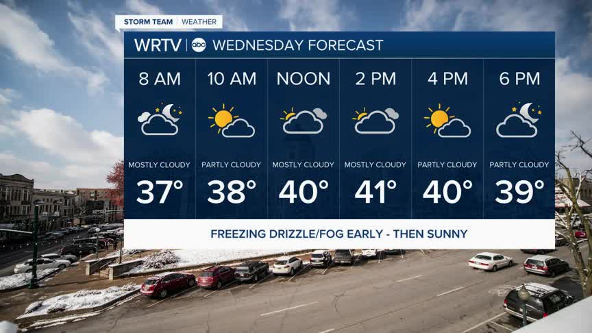
Temperatures have been running warmer and will continue to do so overall for the rest of the week, except for Friday. Overnight temperatures will hover right around the freezing mark in some locations. At the same time, some patchy drizzle and fog will be possible as the warmer air arrives. This could result in a brief period of potentially slick conditions tomorrow morning. Once temperatures rise above freezing, the rest of the day will be pleasant. Just be aware of the possibility of slick roads Wednesday morning.

The rest of Wednesday will be dry with partly to mostly cloudy skies. Temperatures will once again be above freezing, in the low 40s.
Thursday will start with some spotty showers, but expect heavy rain, wind, and even a few thunderstorms to be possible in the afternoon during the evening commute. Below is what the radar could potentially look like for your drive home.

The rain should end by 8 to 9 p.m., and afterwards, temperatures will fall very quickly. A few snow showers will be possible, but no accumulation is expected. Roads could become slick again overnight Thursday into Friday as temperatures drop to around 30° in a very short period of time.

This will result in a flash freeze of any moisture that is left on the ground from the rain during the day. Extra time and caution will be need for Friday morning's commute.
Indianapolis Weather Forecast:
Overnight: Patchy freezing drizzle possible Low: 31°
Wednesday: Partly cloudy. High: 41°
Thursday: Heavy rain, wind and mild temps. High: 52°
Friday: Flash freeze. Much colder. High: 28°
Indianapolis 7-Day Weather Forecast