


Headlines
- SCT. SNOW SHOWERS WEDNESDAY
- TEMPS FALL ALL DAY
- LAKE EFFECT SNOW BAND NORTH
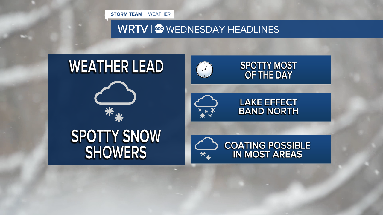
After two days of above-normal temperatures, things will be changing in a big way for the rest of the week. Our high temperature on Wednesday will occur early in the day, and then temperatures will fall throughout the day, eventually dropping into the 20s. Expect scattered snow showers off and on for most of the day as the cold air moves in.

Most of the accumulation will be very light. However, some areas north and east of Indy will have a chance to pick up several inches of snow. This band will likely only be 10–20 miles wide, but within it, you could see several inches. This includes areas from Muncie to Peru to Logansport, with even higher totals possible closer to the lake.

Thursday will be quiet until the evening hours, when another round of snow showers moves in. Highs on Thursday will only be in the mid-20s. Late Thursday into Friday, another round of snow showers will move through. Accumulations will be minor, but slick roads are possible for Friday morning's commute. Temperatures will briefly climb above freezing before tumbling once again.

Saturday, we will only reach the low 20s. Highs on Sunday will be in the teens. As for the other snow events this week, they all look fairly minor, with an inch or less expected, but enough to make the roads slick—especially with the very cold temperatures.
Indianapolis Weather Forecast:
Overnight: Cloudy. Spot shower Low: 38°
Wednesday: Temps tumble. Sct. rain to snow showers. High: 40° (but falling all day)
Thursday: Partly cloudy. Light snow late. High: 27°
Friday: Light AM Snow. Slightly warmer. High: 38°
Saturday: Partly cloudy. Snow showers. High: 23°
Indianapolis 7-Day Weather Forecast

