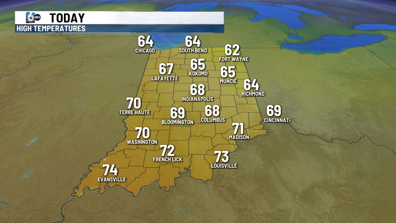
INDIANAPOLIS — Although the weather pattern is changing this week, November has been cold at times and a bit on the snowy side. Just under 3" of snow has been measured in Indianapolis this month. We generally have less than an inch of snow before December arrives.
On average, January is the snowiest month in Central Indiana.

So what's expected in the months ahead?
Two of the biggest pieces of our winter weather puzzle are La Niña and El Niño. Each year we look to which one of these will dominate and play a key role in our weather pattern for the upcoming season.
This year, we're expecting a La Niña-influenced winter for the third year in a row.

A La Niña pattern has to do with the trade winds over the Pacific Ocean. In an average year, those winds push warm surface waters toward Asia. A La Niña pattern develops when those winds are stronger than usual and bring cooler water to the surface in the eastern pacific. When this happens, the steering winds for storm systems shift north. This usually means we end up in a wetter, more active weather pattern across central Indiana.
La Niña isn't the only key to the winter outlook though.

There are several other short-term weather patterns that can have a big influence on our weather. One example of those is the Arctic Oscillation or AO for short. When the AO is in a positive state, the cold air tends to stay bottled up to the north. When it goes negative, that opens the door for cold air to pay a visit to a large chunk of the U.S.

If this phase lines up with a storm system, it could be a recipe for snow across the Hoosier state.
So, there are many factors we look at for the winter outlook.
The strongest signal during the expected La Niña pattern is for above-average precipitation. That doesn't automatically mean above-average snowfall. In fact, this pattern often yields below-average snowfall for us. We average 25.5" of snow for the season in Indianapolis.
In summary, average temperatures or slightly above average are forecast. An overall active pattern should lead to above-average precipitation. Mixed precipitation events, rain and even some thunderstorms are possible in this pattern. You should shovel less snow in this La Niña pattern.

-

Scammers are using fake CAPTCHA prompts to steal your information
According to the Identity Theft Resource Center, scammers are using realistic looking, fake CAPTCHA pages to scam people.
IMPD arrests 3 in connection to downtown shooting in November
Three suspects have been arrested for their alleged involvement in a downtown shooting that happened in November, IMPD said on Wednesday.
Indianapolis Public Library adding Sunday hours at two branches
The Indianapolis Public Library said it will be expanding services at the Pike and Franklin Road branches beginning April 12.
Major shift in weather pattern brings warmer temperatures to Indiana
We began the day with chilly and frosty conditions, but a major shift in the pattern is underway. Warmer temperatures will take over for the rest of the week and into the weekend.


